3D Texas
$349
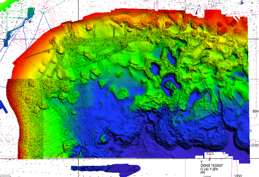
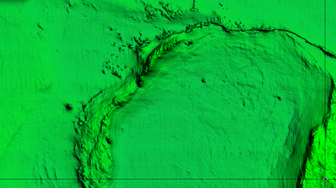
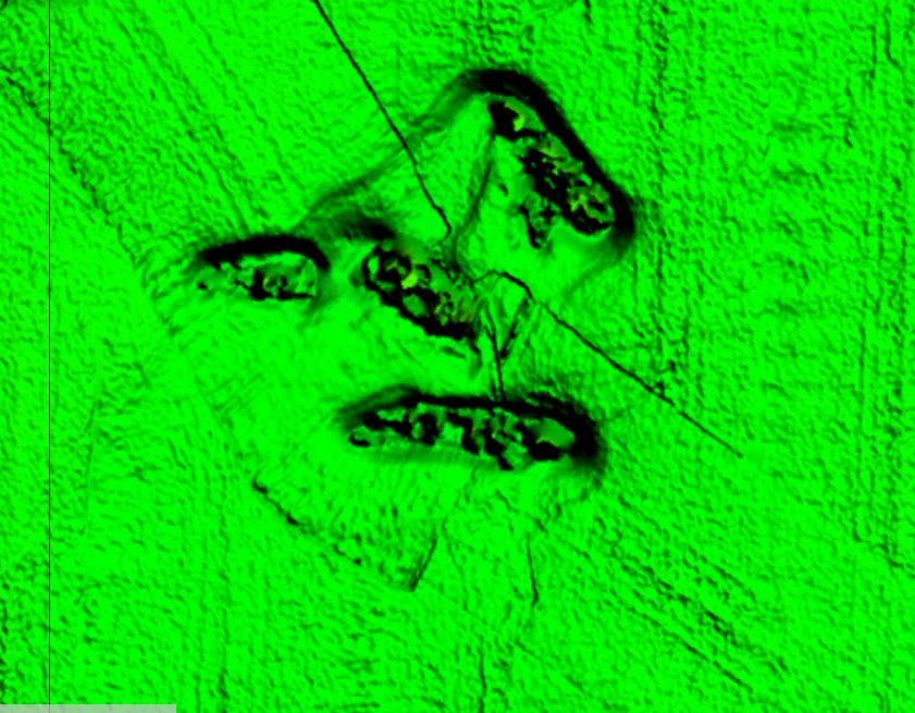
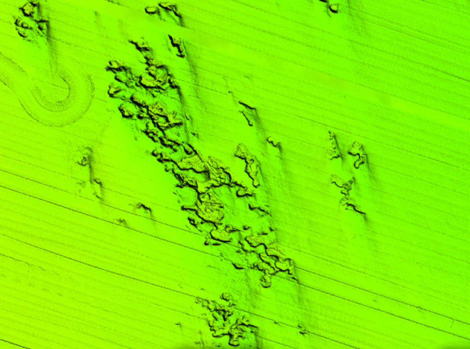
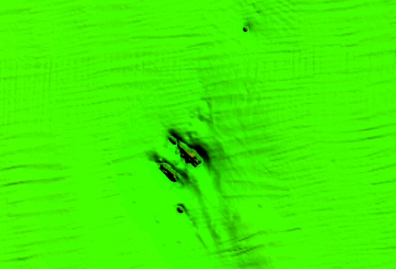
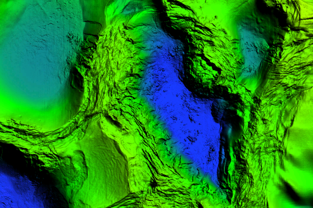
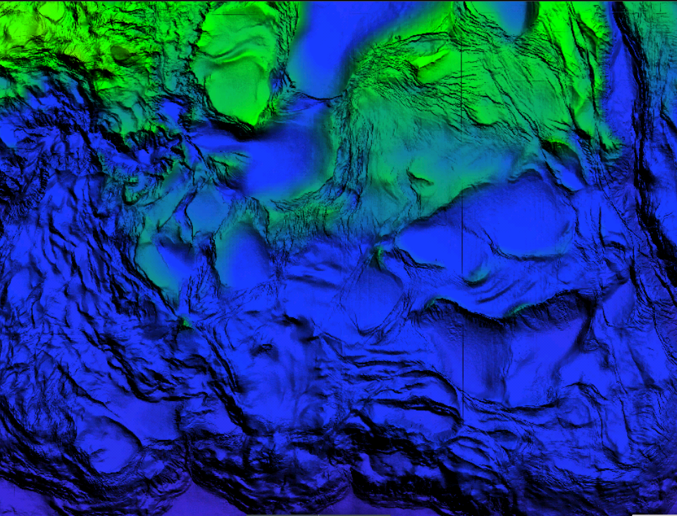
- Description: StrikeLines’ Texas fishing chart features high resolution 3D images of the seafloor.
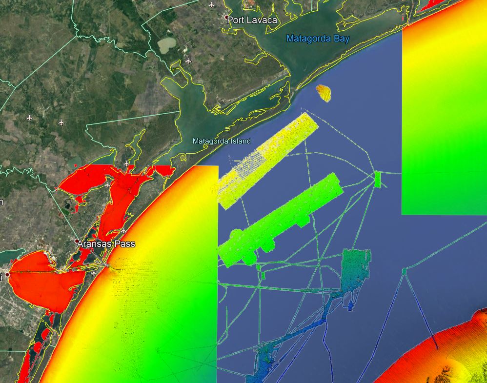
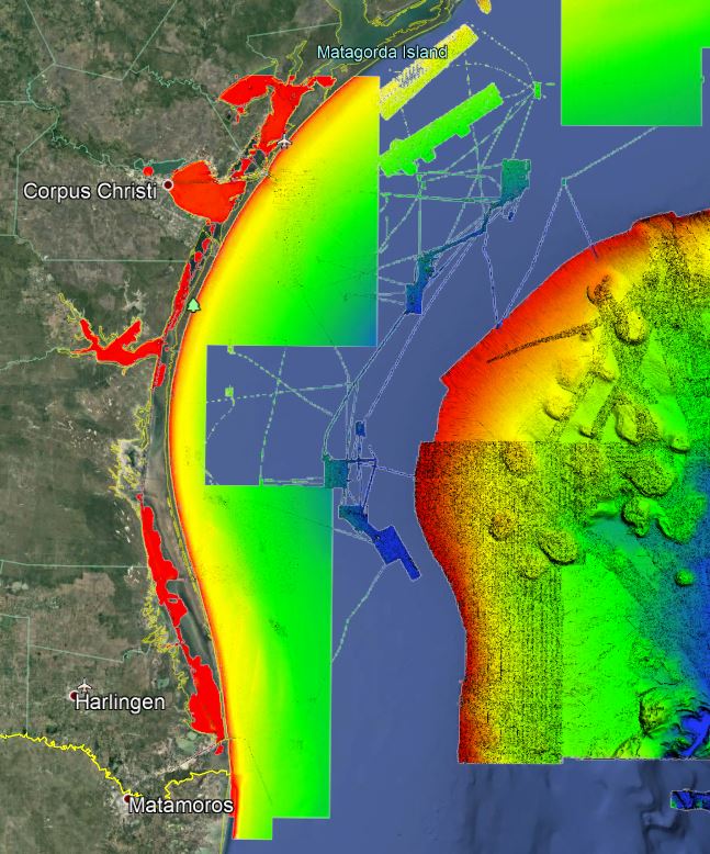
- Location: Texas fishing chart coverage includes: Port Arthur to Port Isabel including Galveston, Freeport, offshore Matagorda, and Corpus Christi. Chart has nearshore coverage of nearly the whole coast. Chart also includes offshore coverage of Mansfield Dome, Alamo Mound, Wall Basin, Claypile Bank, and more!
- Some nearshore coverage is lower resolution. The data was included because it is better than nothing. Please see the screenshots below to view some of the lower resolution areas. Please feel free to email us to find if your fishing spots are covered in the chart.
- Fishing Map Size: about 35,000 square miles of potential fishing spots.
- Depths: 0 ft to 6,000 ft
- Works on: Lowrance, Simrad, Raymarine, B&G, VesselView, iPhone, iPad, and Android tablet. Got a Garmin? Click here. (See: StrikeLines GPS Unit Compatibility Chart)
- Resolution: Very high resolution in many areas. Lower resolution in some nearshore and offshore areas. Please feel free to email us to see if your spots are covered in this chart.
- Notes: With StrikeLines’ HD view of the ocean floor you’ll see exactly where those potential fishing spots are on the map. See incredible images of where all the natural coral reef formations, wrecks, and other structures are in real time on your GPS unit, mobile device, or computer.
Updated February 22, 2021: increased coverage area to include nearshore and offshore coverage.


