3D Northern Gulf
$349 – $1,148
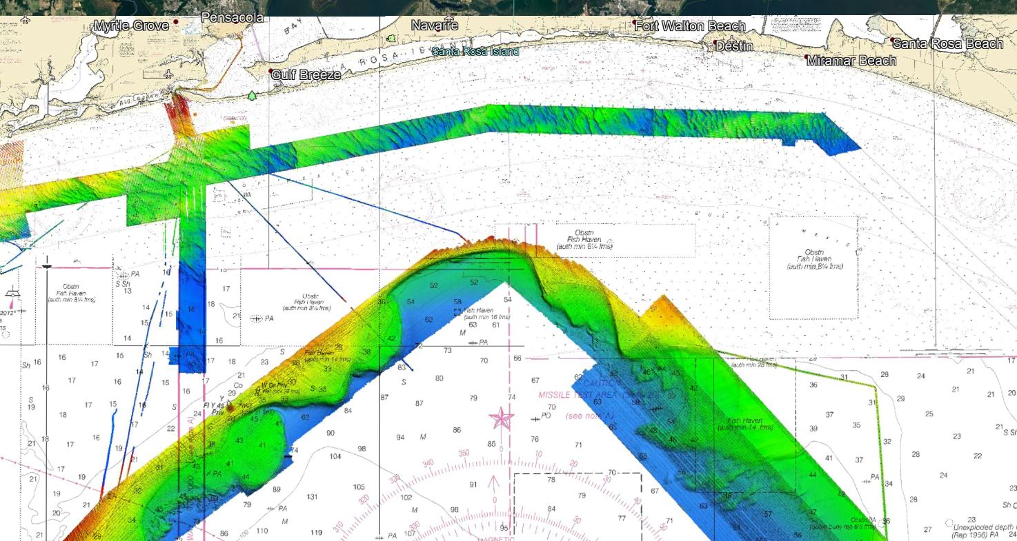
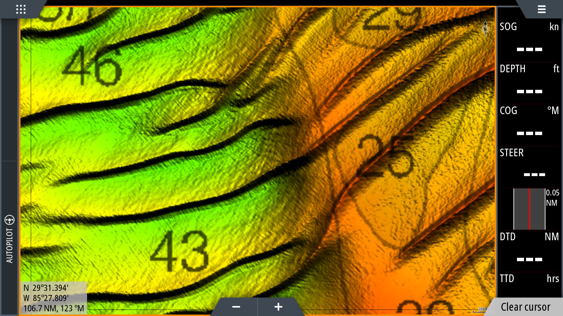
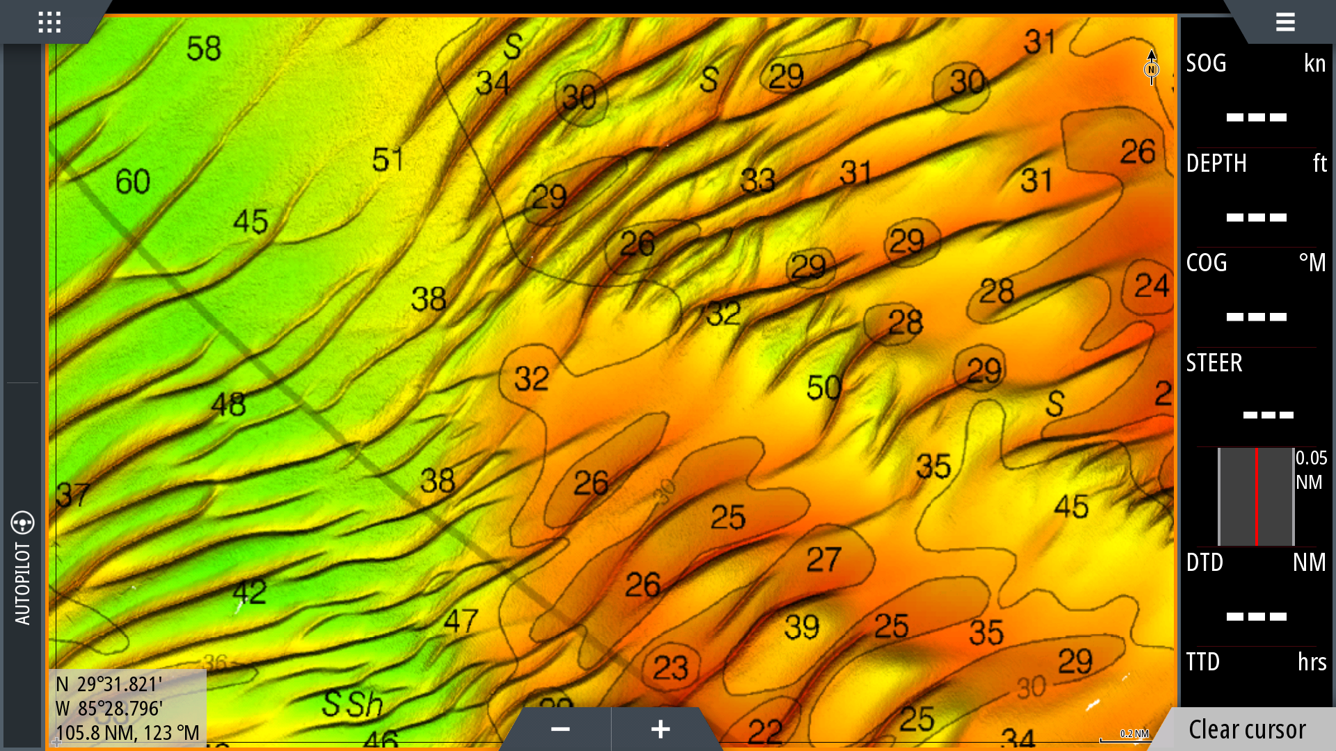
Florida Panhandle, Alabama, and Mississippi Gulf Coast 3D fishing chart with high resolution imagery of the seafloor.
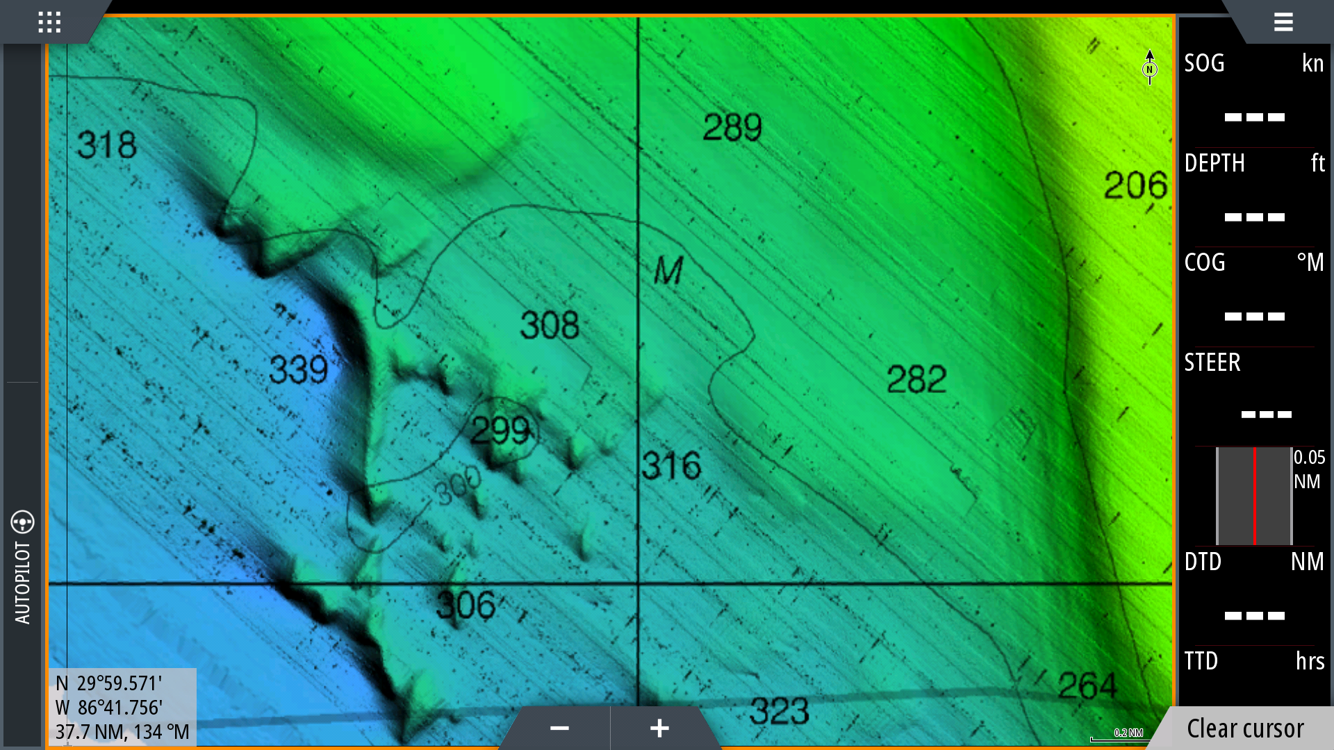
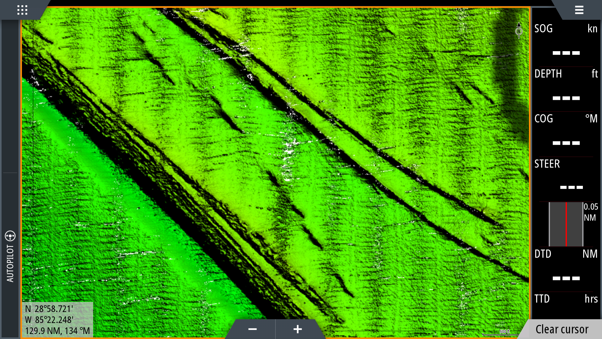
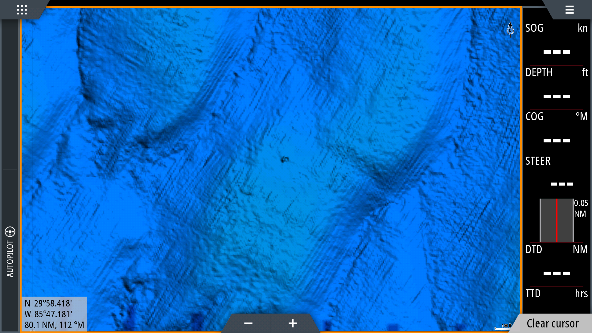
**Preview map is LOW RESOLUTION. See gallery below for HD sample images**
- Description: Northern Gulf Coast fishing map features high definition 3D images of the seafloor.
- Location: Coverage includes the Gulf of Mexico shelf edge which runs from Petit Bois Island to Port St Joe. Includes nearshore data off Cape San Blas, Apalachicola, Panama City, Destin, Pensacola, Gulf Shores, Fort Morgan, Dauphin Island, and Petit Bois Island. Also includes DeSoto Canyon and Gloria Dome.
- Fishing Map Size: 6,500 square miles of potential fishing spots.
- Depths: 20ft to 9,000ft
- Works on: Lowrance, Simrad, Raymarine, B&G, VesselView, iPhone, iPad, and Android tablet. Got a Garmin? Click here. (See: StrikeLines GPS Unit Compatibility Chart)
- Resolution: Excellent throughout. Shelf edge is approximately 3x the resolution of our previous Shelf Edge chart. Nearshore data is 50cm resolution in many areas.
- Notes: With StrikeLines’ HD view of the ocean floor you’ll see exactly where those potential fishing spots are on the map. See where all the rocks, wrecks, reefs, ledges, and other structures are in real time on your GPS unit, mobile device, or computer. Fish for Stud Grouper, Tilefish, and pelagics, or hit the coops and load up on Snapper! Bring plenty of ice!
- Already got StrikeLines’ 3D Shelf Edge chart or 3D Gulf Deep chart? Get $100 off the purchase of StrikeLines’ 3D Northern Gulf chart. Contact info@strikelines.com for details.


