3D Gulf of Mexico Deep
$349
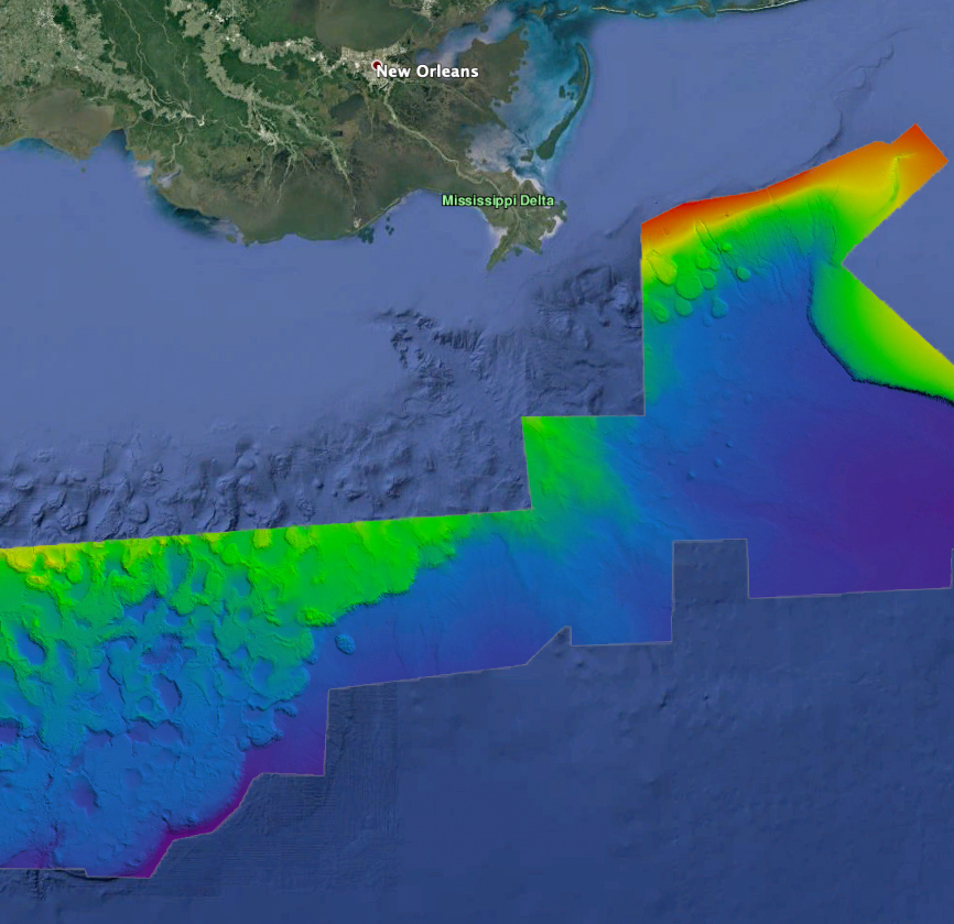
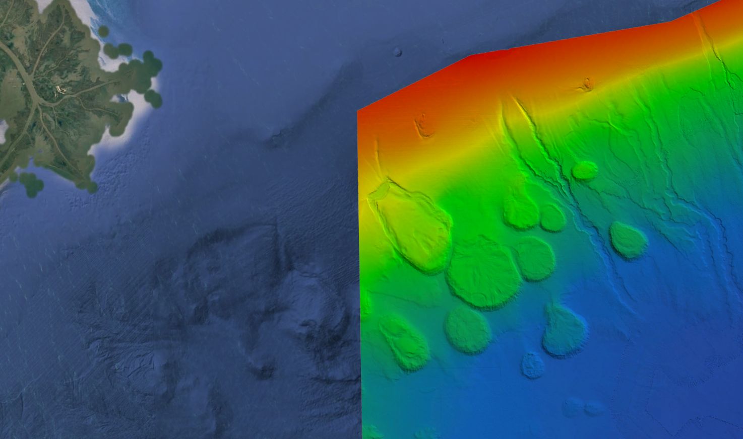
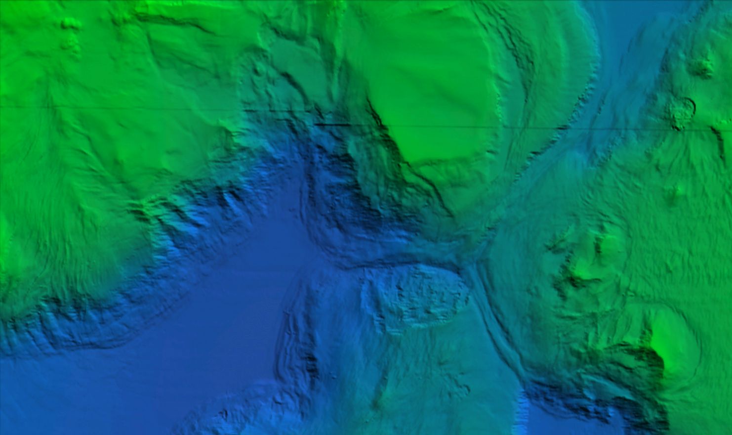
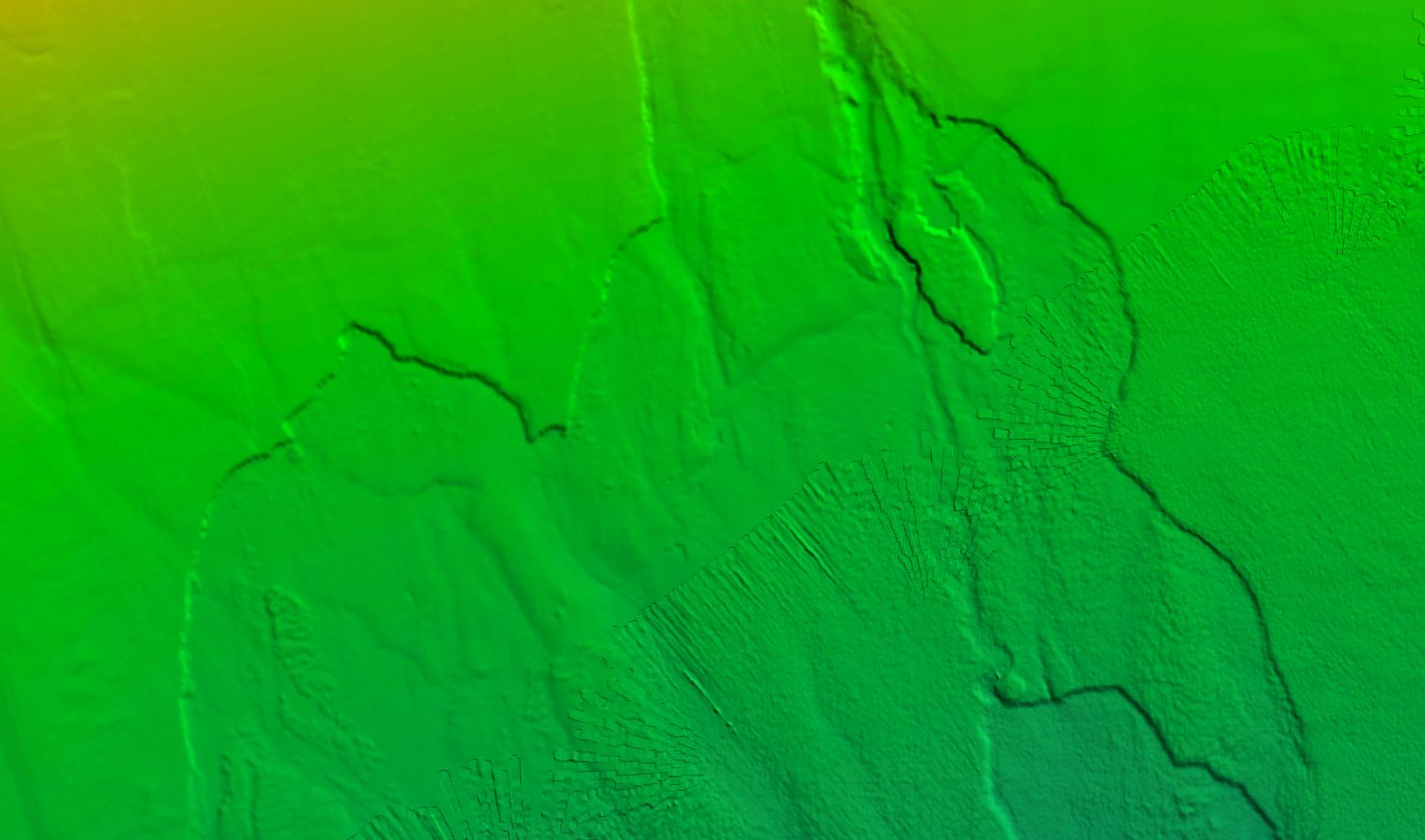
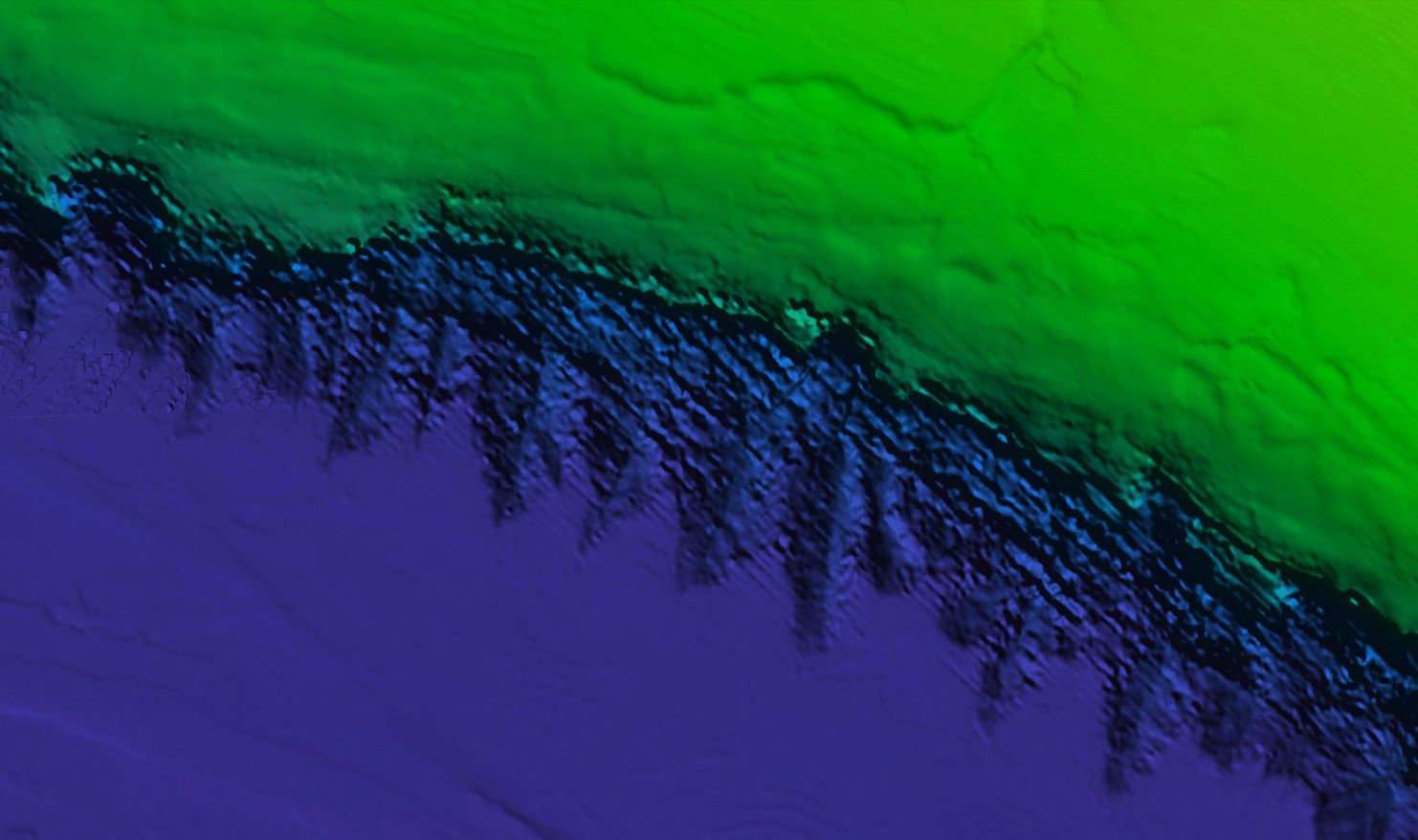
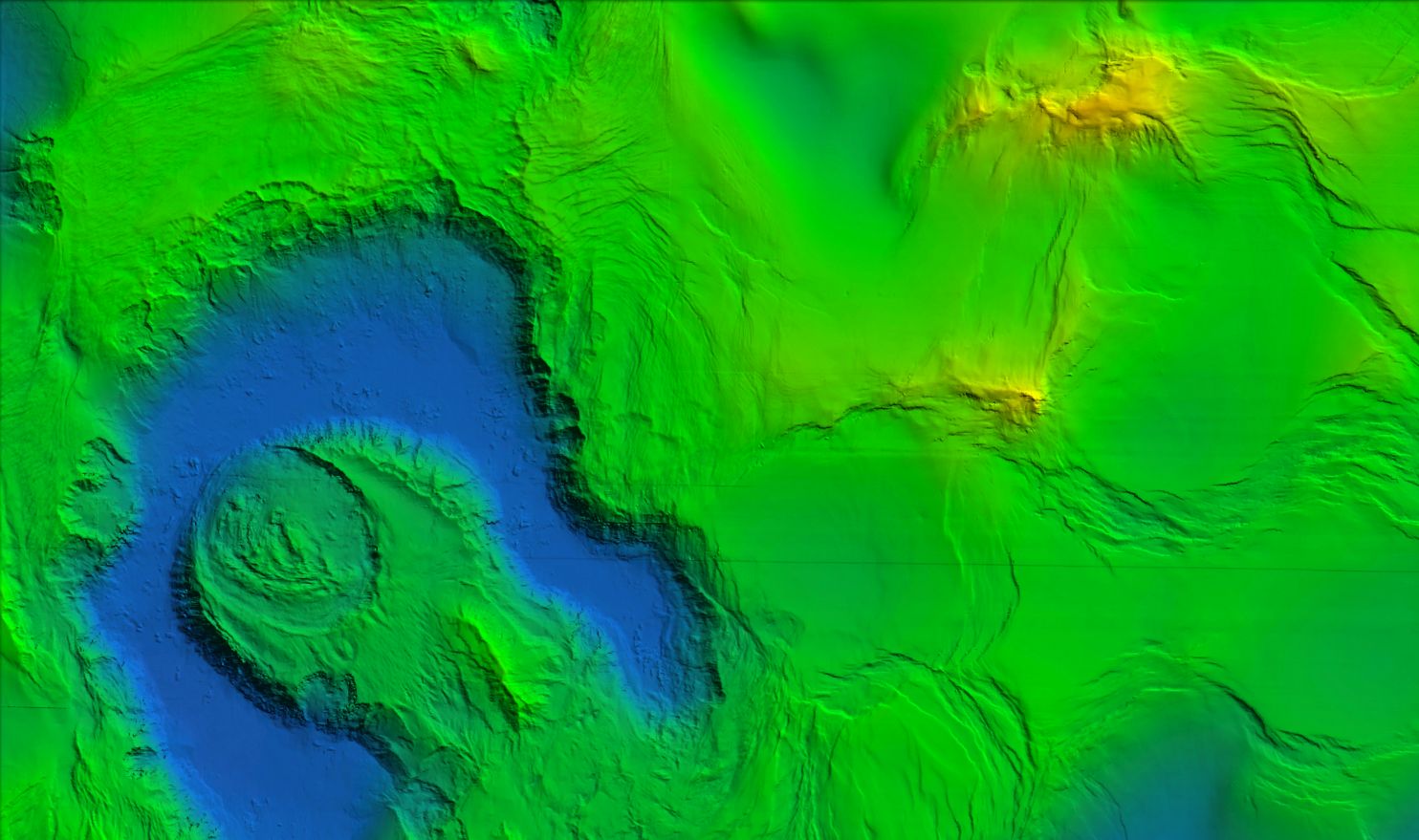
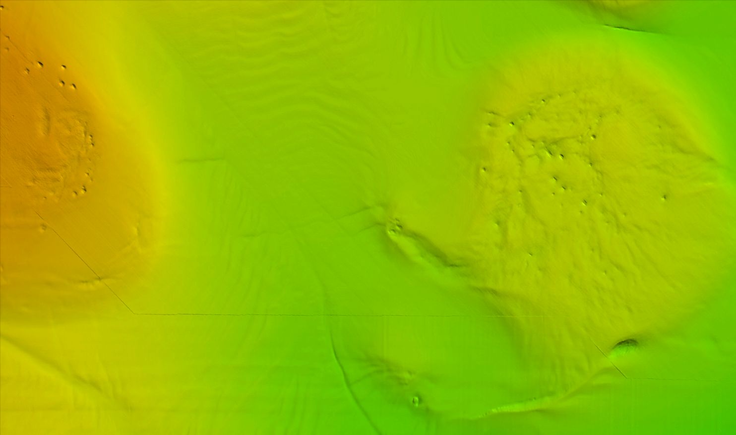
Gulf of Mexico Deep fishing map 3D with high resolution images of the seafloor.
**Preview map is LOW RESOLUTION. See gallery below for HD sample images**
- Description: Gulf of Mexico Deep fishing map features high definition 3D images of the seafloor.
- Location: Gulf of Mexico Deep fishing chart coverage includes DEEP waters offshore of Texas, Louisiana, Alabama, Mississippi, and all the way to Florida.
- Fishing Map Size: Approximately 62,000 square miles of potential fishing spots.
- Depths: 300ft to 6,000ft.
- Works on: Lowrance, Simrad, Raymarine, B&G, VesselView, iPhone, iPad, and Android tablet. Got a Garmin? Click here. (See: StrikeLines GPS Unit Compatibility Chart)
- Resolution: Good throughout.
- Notes: With StrikeLines’ HD view of the ocean floor you’ll see exactly where those potential fishing spots are on the map. For Deeeeep dropping and trolling. See where all the rocks, reefs, ledges, wrecks and other structures are in real-time on your GPS unit, mobile device, or computer.


