




3D Louisiana Nearshore
$349
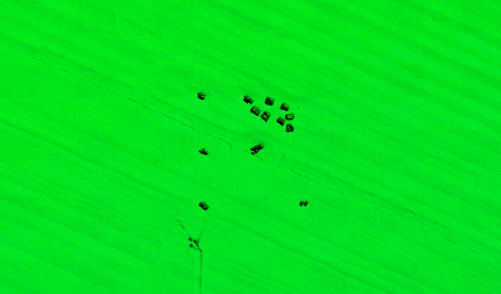
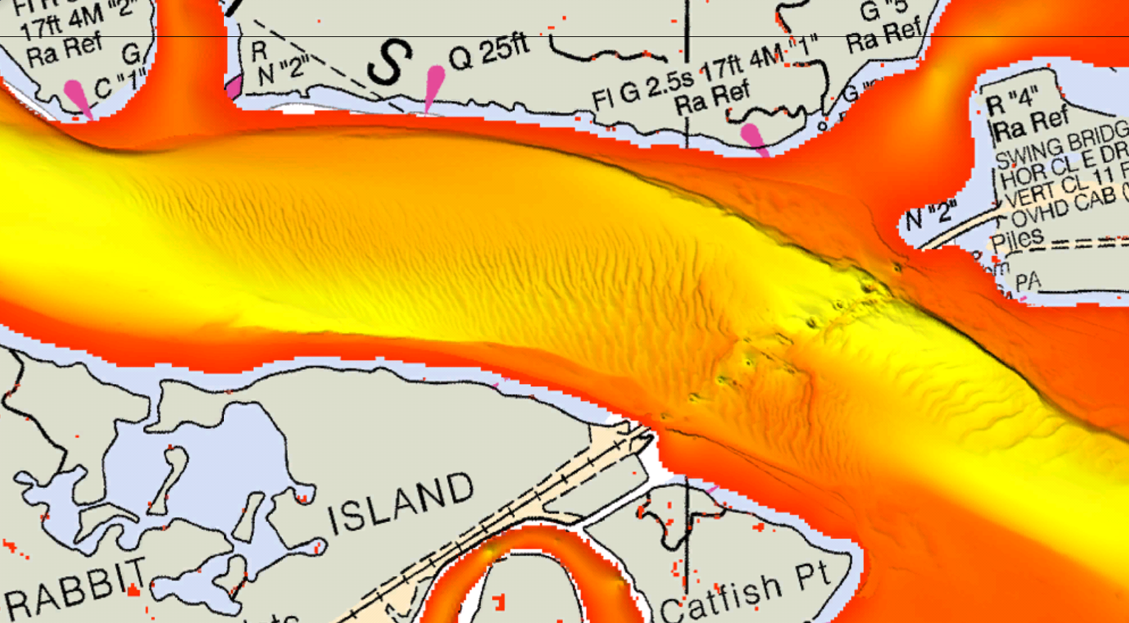
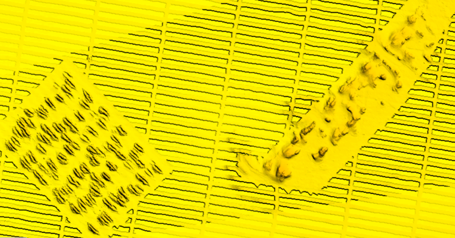
Louisiana Nearshore fishing map 3D with high resolution images of the seafloor.
**Preview map is LOW RESOLUTION. See gallery below for HD sample images**
- Description: Louisiana Nearshore fishing map features high definition 3D images of the seafloor.
- Location: Louisiana Nearshore fishing chart 3D coverage includes 0-30 miles offshore the Louisiana coast, from the Atchafalaya Bay to the Chandeleur Islands to Pascagoula, with some additional coverage around Port Arthur.
- Fishing Map Size: 5,000 square miles of potential fishing spots.
- Depths: Max Depth of 3,600 ft.
- Works on: Lowrance, Simrad, Raymarine, B&G, VesselView, iPhone, iPad, and Android tablet. Got a Garmin? Click here. (See: StrikeLines GPS Unit Compatibility Chart)
- Resolution: Varies depending on the quality of data available.
- Notes: With StrikeLines’ HD view of the ocean floor you’ll see exactly where those potential fishing spots are on the map. See where all the oil rigs, shipwrecks, massive natural cliffs, rock piles and other structures are in real time on your GPS unit, mobile device, or computer.
Updated 12/11/2020 – Coverage and resolution increased in most areas.
Related products
-

Gulfstream Pipeline with Side Scan Imagery
$549 Select options -

3D Louisiana Offshore / Flower Garden Banks
$349 Select options -

HardbottomHD for Aqua Map – iOS/Android
$650 Add to cart -

Gulf of Mexico Oil Rig Platforms & Pipelines
$0 – $99 Select options -

3D Gulf of Mexico Deep
$349 Select options -

3D Northern Gulf
$349 – $1,148 Select options

