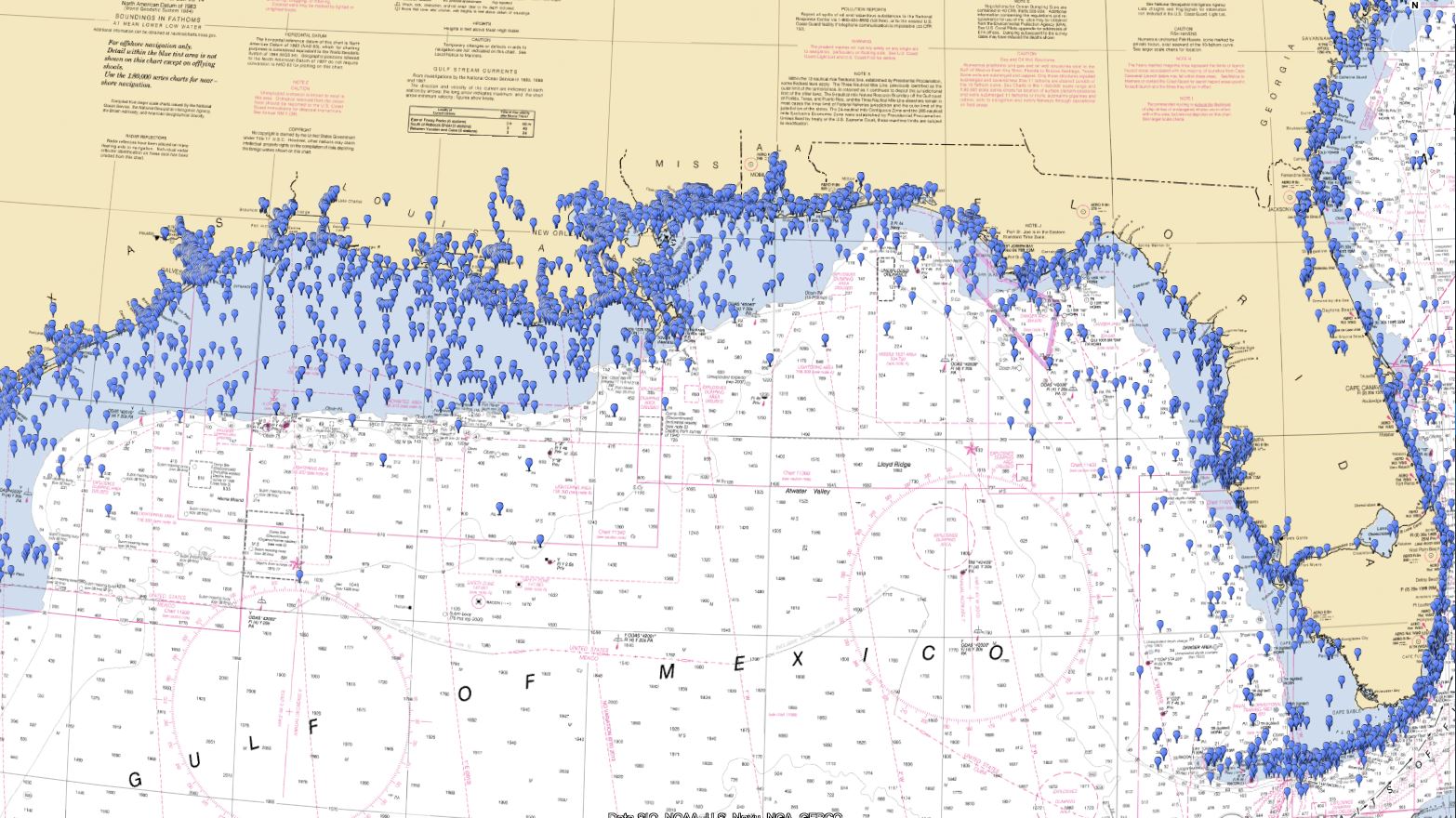
NOAA ENC Wrecks for Fishing and Diving
$39 – $99
NOAA Wrecks Waypoints for Fishing and Diving
These wrecks, several thousand across the country, were pulled from NOAA ENC data and converted it into formats that work on your chart plotter, phone, or computer. Unlike our waypoints charts, we have not verified this data and do not guarantee its accuracy. This data covers the Gulf of Mexico, Atlantic, Caribbean, Long Island Sound, Gulf of Maine, Pacific, Puget Sound, Gulf of Alaska, and more.
We used ENC data because, after reviewing tens of thousands of square miles of data, we find it more accurate than the AWOIS data incorporated in most marine charts. Your tax dollars paid for this data and it should be available to everyone – that’s why we only charge a minimal amount to cover our costs.
NOAA does not provide the names of wrecks. If you’re looking for a particular wreck, Google may be a better option. If you want to explore and potentially find a few new wrecks to fish or dive, this chart may be perfect.
Want to know the difference between a wrecks chart and a StrikeLines Waypoints chart? Check out our blog post: Wrecks Charts vs. Waypoints Charts.
StrikeLines’ wrecks diving and fishing waypoints charts can be displayed on your phone, tablet, or computer with a variety of apps or on just about any chart plotter. On a marine chart plotter the waypoints will overlay on top of your normal chart.
If you select a microSD/SD chart card, a chart card will be mailed to you. If you select a chart version for your phone, tablet, or computer you will be provided download links on your checkout confirmation page, by email, and in your account if you create one. Make sure to start with the instructions! Tight Lines!


