3D Florida Keys
$349 – $1,148
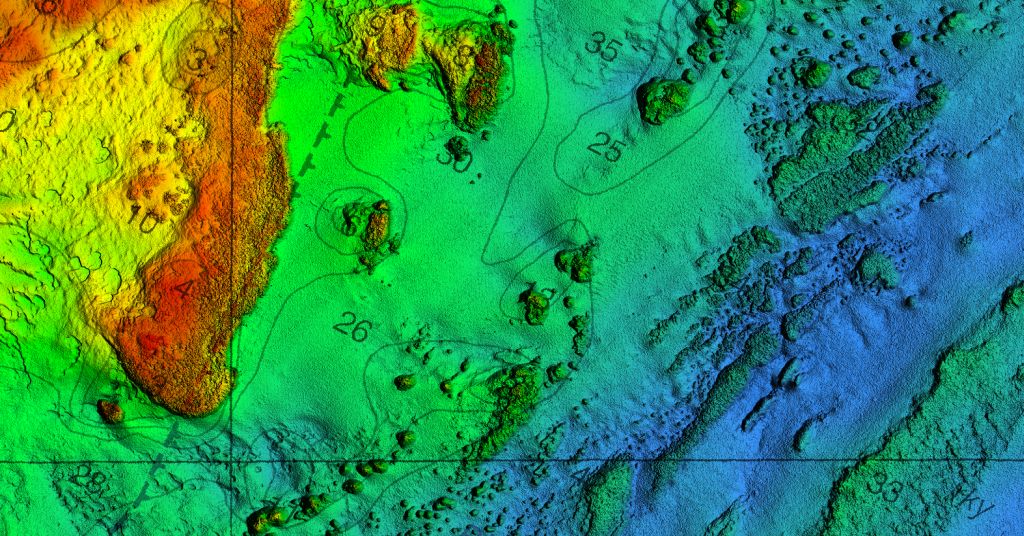
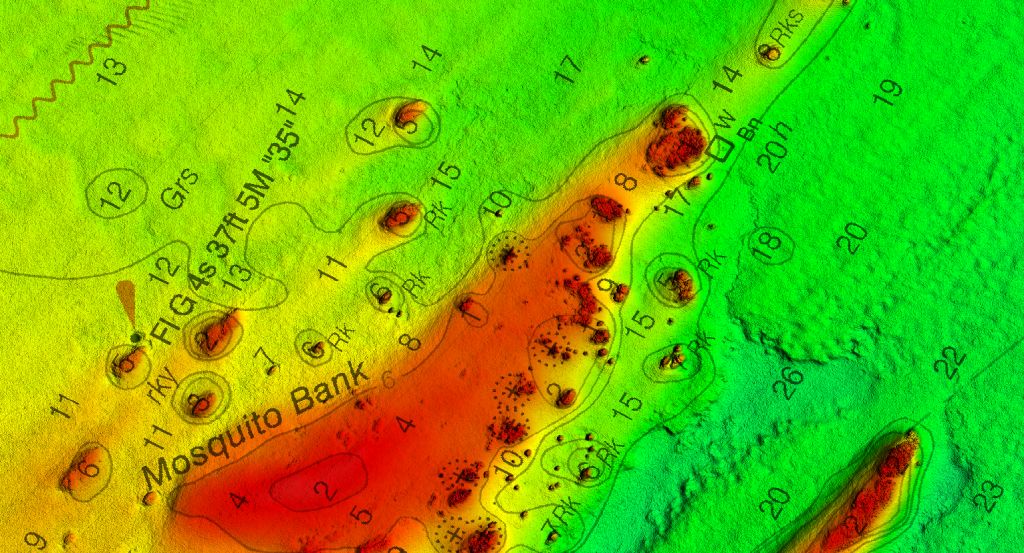
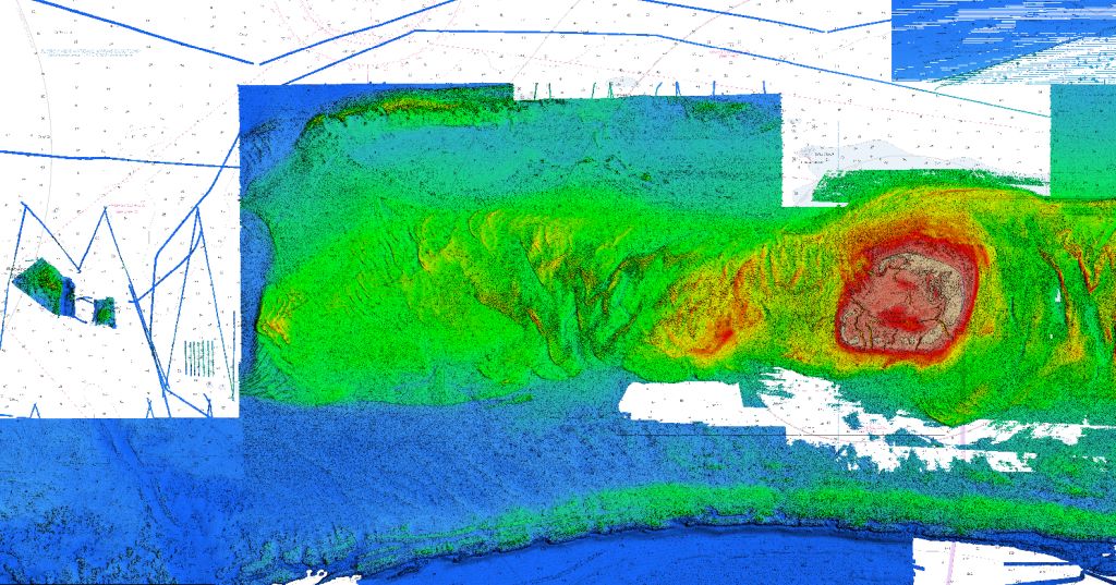
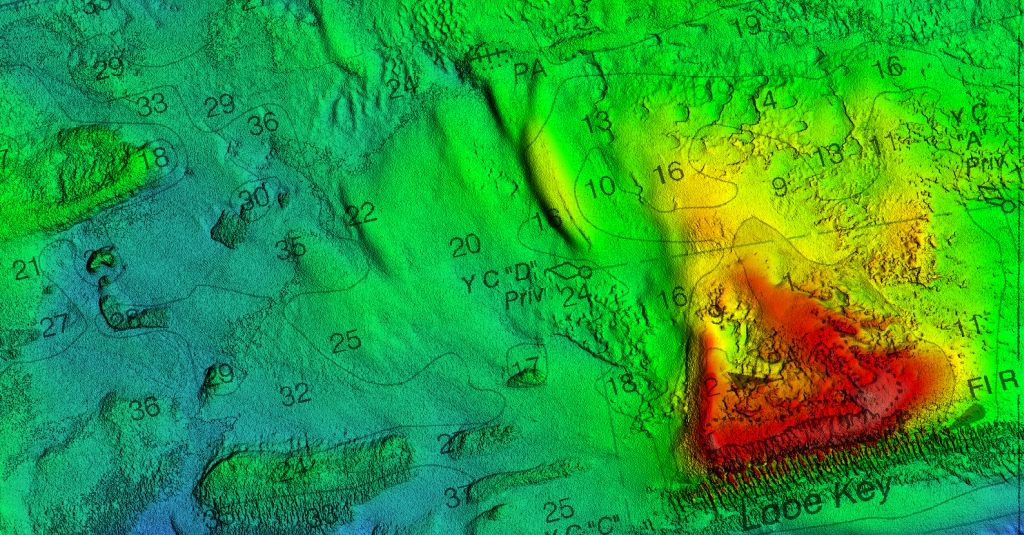
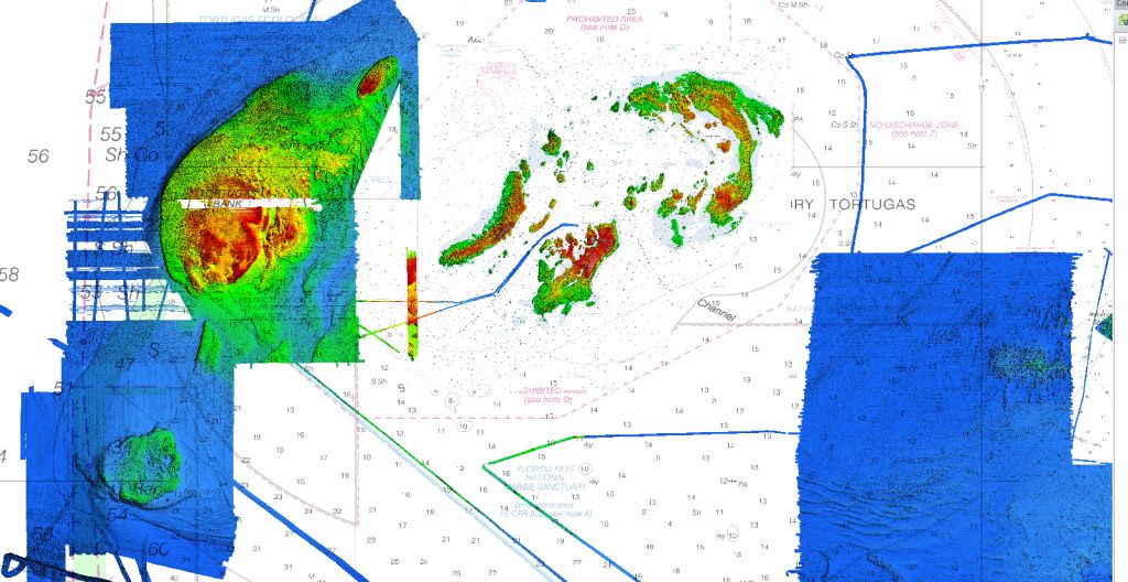
Florida Keys fishing map 3D with high resolution images of the seafloor.
- Description: Florida Keys fishing map features high definition 3D images of the seafloor.
- Location: Florida Keys fishing chart coverage includes coverage of all southern and eastern reef systems. It also includes all of the rivers that cut through the islands. The map does not include high resolution data for Shark River area of SW Florida.
- Fishing Map Size: 900 square miles of potential fishing spots.
- Depths: 0 ft to about 200 ft
- Works on: Lowrance, Simrad, Raymarine, B&G, VesselView, iPhone, iPad, and Android tablet. Got a Garmin? Click here. (See: StrikeLines GPS Unit Compatibility Chart)
- Resolution: Varies depending on the quality of data available.
- Notes: With StrikeLines’ HD view of the ocean floor you’ll see exactly where those potential fishing spots are on the map. See where all the rocks, reefs, ledges and other structures are in realtime on your GPS unit, mobile device, or computer.
- Updated: 4/7/2021 – Added data, improved shading, added NOAA underlay for depths.


