3D Chesapeake Bay
$349
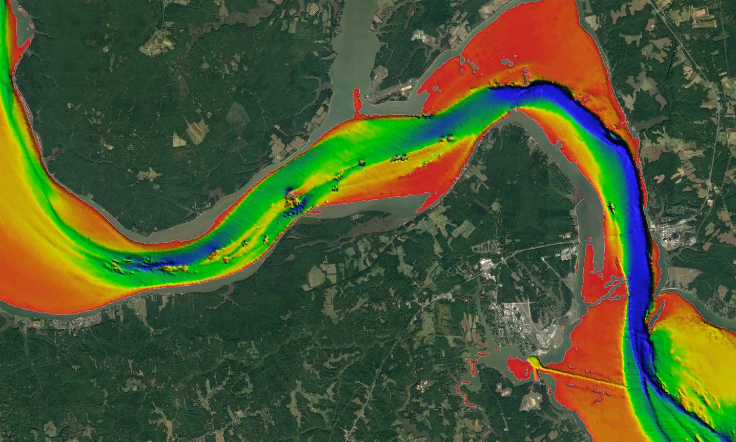
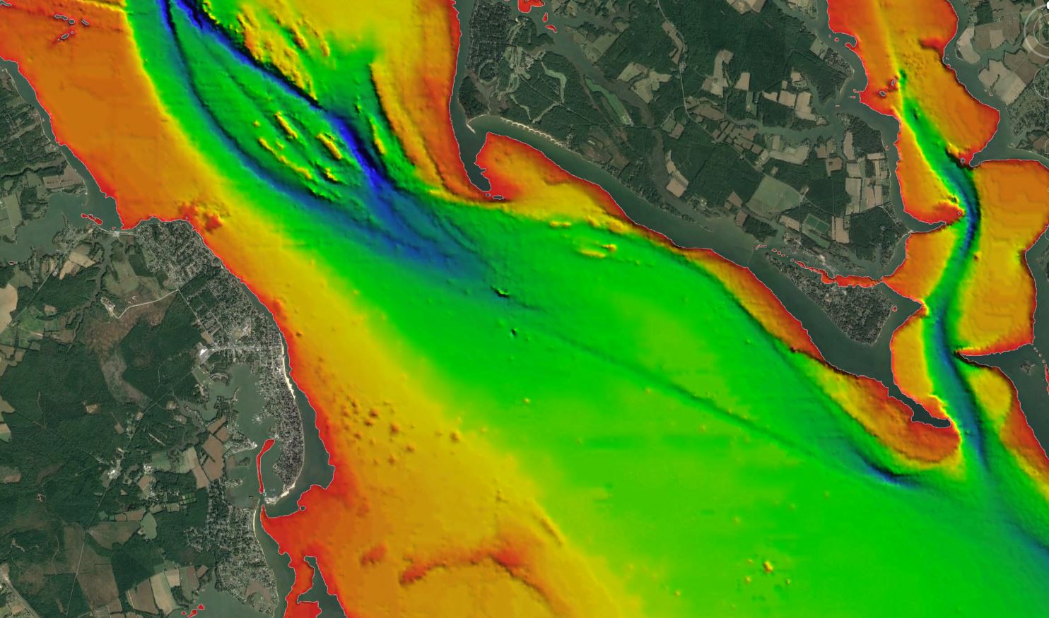
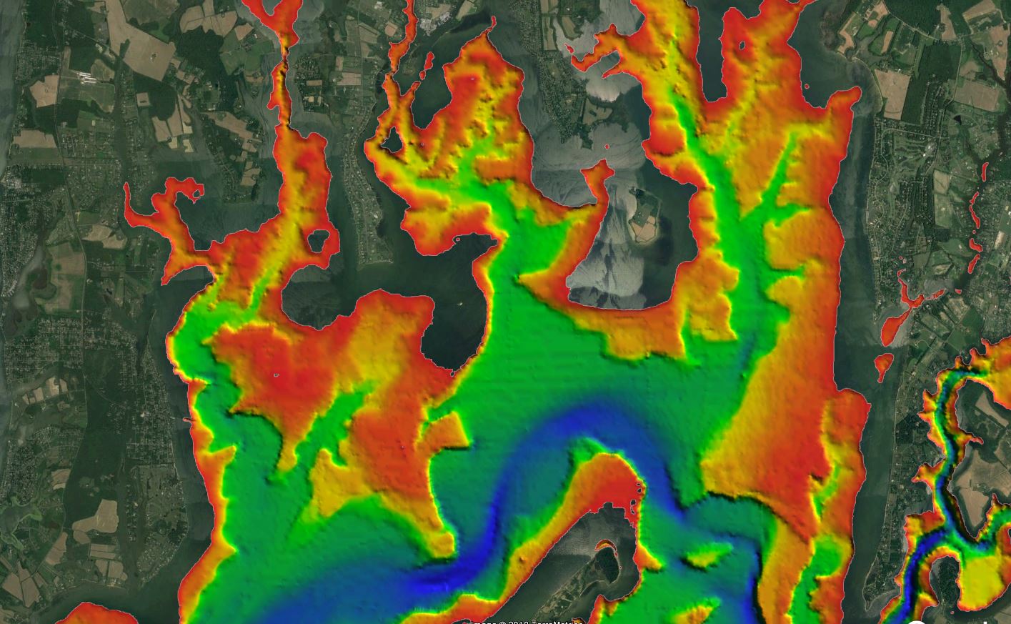
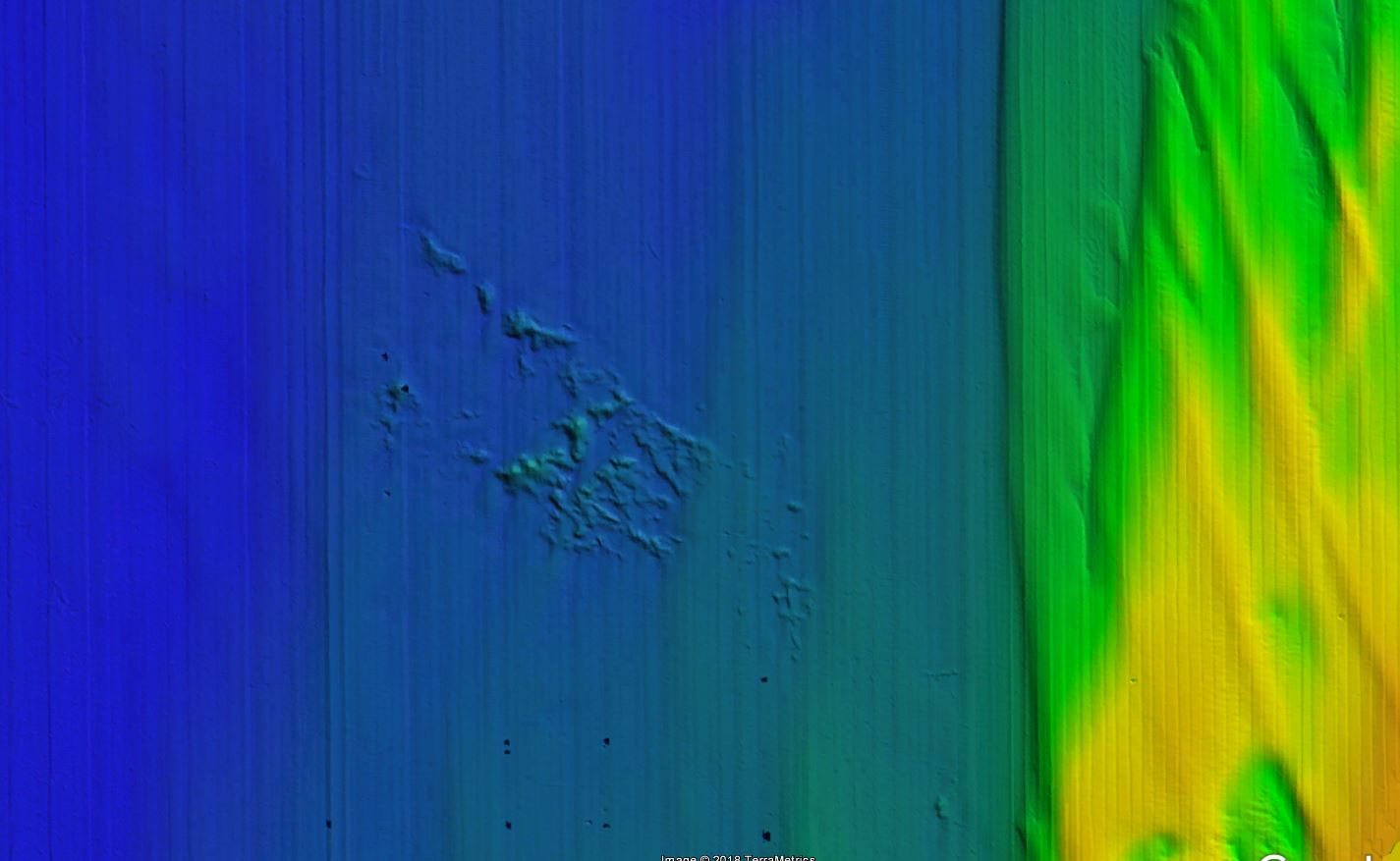
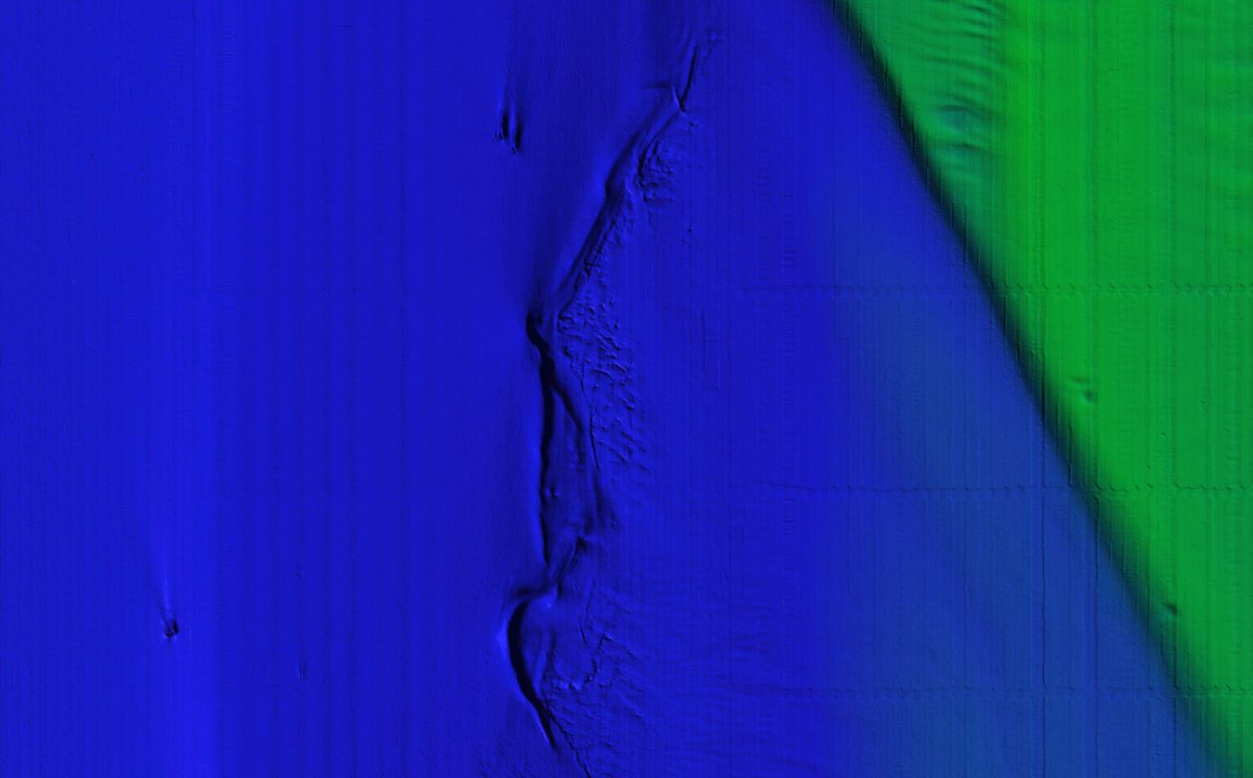
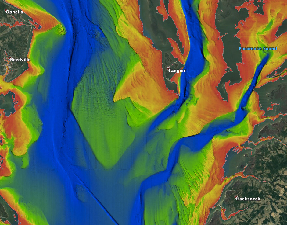
Chesapeake Bay fishing chart 3D with high resolution images of the seafloor.
**Preview map is LOW RESOLUTION. See gallery below for HD sample images**
- Description: Chesapeake Bay fishing map features high definition 3D images of the seafloor.
- Location: Chesapeake Bay fishing chart coverage includes: Belcamp, Baltimore, Annapolis, Cambridge, Virginia Beach, Washington D.C., and coastal beaches from Knotts Island to Ocean City.
- Fishing Map Size: 1,900 square miles of potential fishing spots.
- Depths: 1 ft to 75 ft
- Works on: Lowrance, Simrad, B&G, VesselView, iPhone, iPad, and Android tablet. Got a Garmin? Click here. (See: StrikeLines GPS Unit Compatibility Chart) *Not currently available for Raymarine*
- Resolution: Varies from extremely high resolution in deep areas of the southern and central bay to medium resolution in shallow inshore rivers.
- Notes: With StrikeLines’ HD view of the ocean floor you’ll see exactly where those potential fishing spots are on the map. See where all the rocks, dredge dumps, channel edges, sand bars, exposed fractured bedrock and other structures are in realtime on your GPS unit, mobile device, or computer.


