
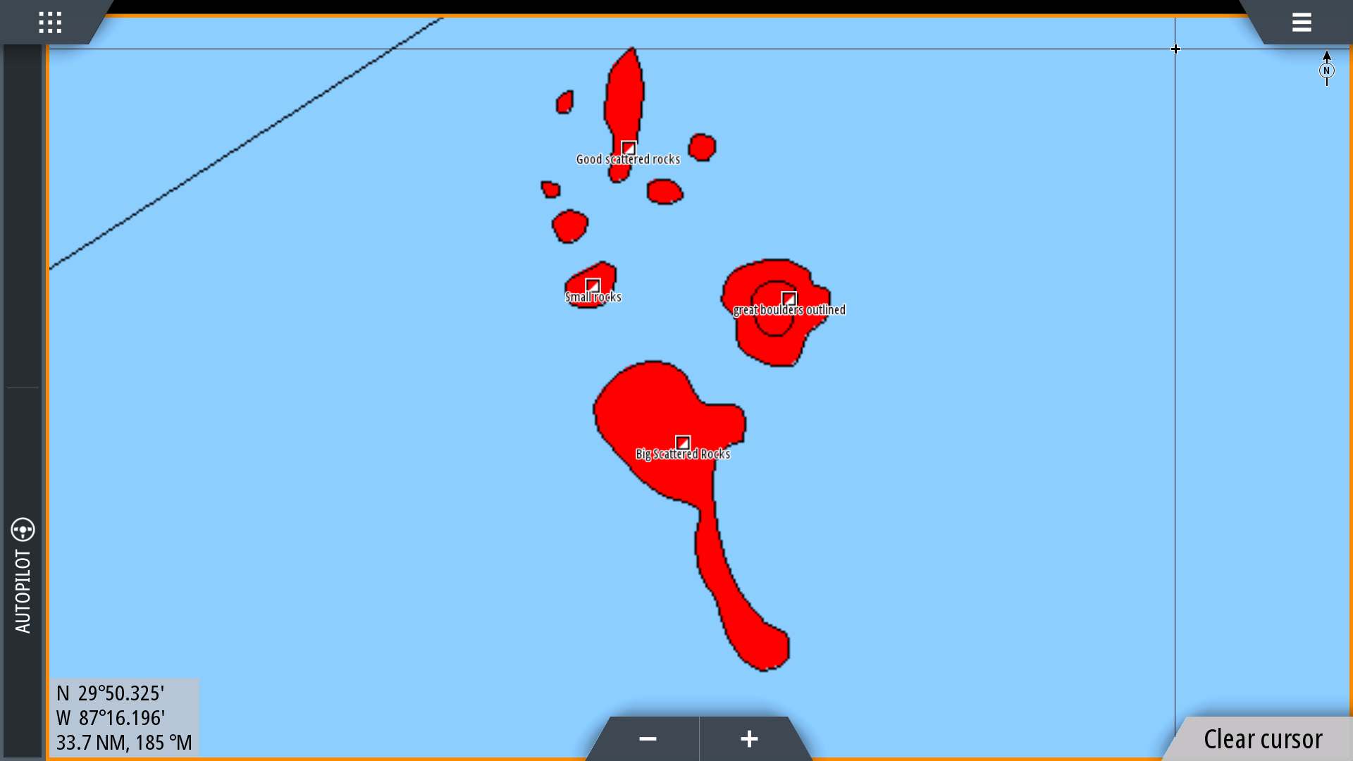
Since 2014, StrikeLines has been searching for fish in the Gulf of Mexico using professional side scan sonar systems. To date, we’ve found over 9,000 artificial reefs for charter customers and for our private reefs page. We have also located miles and miles of killer hardbottom fish habitat. Ledges, sinkholes, coral patches, swiss cheese bottom, rock piles, giant rock outcroppings, tilefish colonies, petroleum gas seeps, ancient underwater cypress forests… After years of sitting on these natural bottom fishing spots, we decided to start bundling them into regional fishing charts. We call these maps “waypoints” or “fishing spots” charts. Here’s what our latest waypoints fishing chart looks like on Simrad:
We make these charts by going through our sonar data and marking up any structure that looks fishy. We drop waypoints with each spot’s description and trace an outline of the structure with lines.
As long as you’re fishing inside one of the red areas, you can rest assured you’re on good fishy bottom.
The following images show how we mark up fishing spots from high resolution side scan sonar data.


These charts are fully compatible with Simrad, Lowrance and Raymarine.

