3D US Virgin Islands – St Croix
$149
US Virgin Islands St Croix Fishing Map 3D
**Preview map is LOW RESOLUTION. See gallery below for HD sample images**
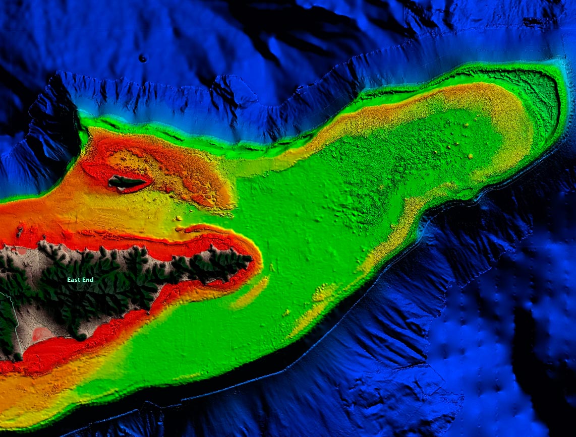
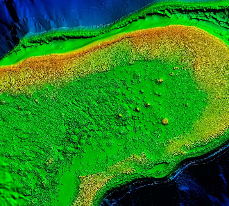
- Description: High definition 3D images of St Croix and the shelf seafloor.
- Location: St Croix HD fishing chart. Coverage includes the 5 miles of the underwater shelf on the North and South coastlines, with a great visual of the shelf’s seafloor leading up to the deep drops that surround the island. The map also includes HD coverage of the eastern side shelf leading up to the deep drop.
- Size: 2,051 square miles. Note that much of the deep water area is low resolution.
- Depths: 1,100 ft to -6,000 ft.
- Works on: Lowrance, Simrad, Raymarine, B&G, VesselView, iPhone, iPad, and Android tablets.
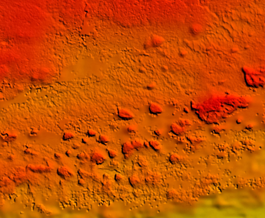
- Resolution: Very high in some areas on the shelf, particularly around Buck Island and Lang Bank. Resolution varies elsewhere in shallow water. Lower resolution in deep water. See screenshots for more information. If you are unsure, email us coordinates for your area of interest and we’ll send a screenshot.
- Notes: USVI St Croix is known for its deep drops right off the shelf, which makes for some amazing fishing. Small fish gather around the island’s narrow shelf, attracting all pelagics and reef fish. With StrikeLines’ HD view of the ocean floor you’ll see exactly where the rocks, reefs and other structures are in realtime on your GPS, mobile device, or computer.


