3D Puerto Rico West – Aguadilla, Rincon, Mayaguez, Puerto Real, Boqueron
$149
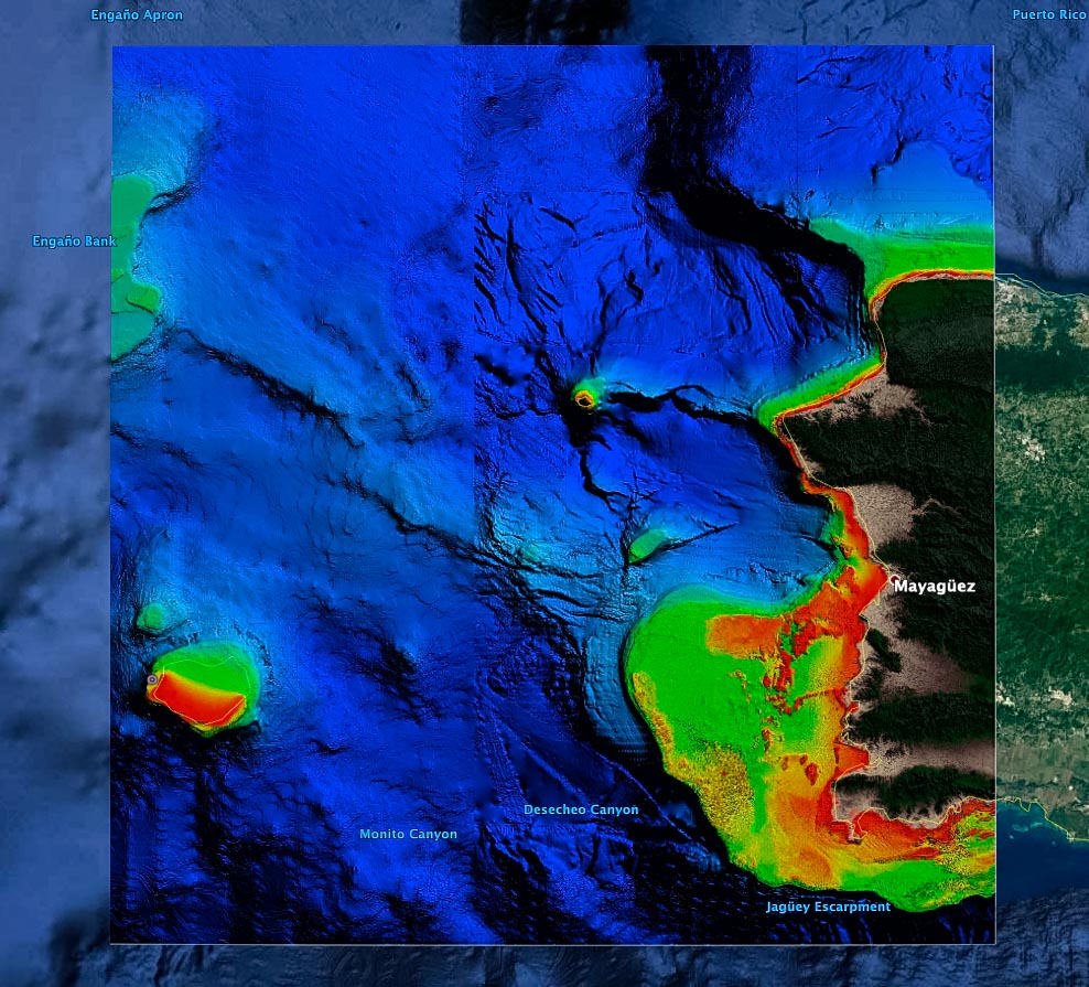
Puerto Rico West Fishing Chart 3D – Aguadilla, Rincon, Mayaguez, Puerto Real, Boqueron.
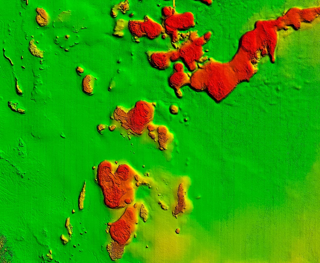
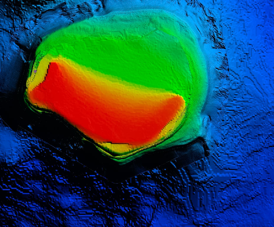
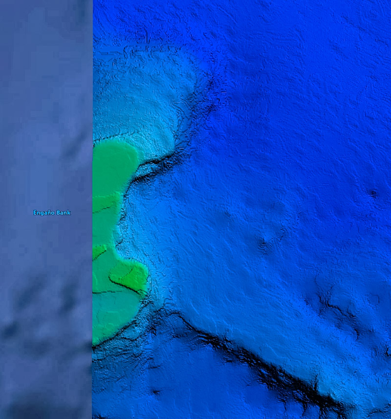
**Preview map is LOW RESOLUTION. See gallery below for HD sample images**
- Description: High definition 3D images of the seafloor.
- Location: Puerto Rico West fishing map coverage includes nearshore and offshore the coast of Aguadilla, Rincon, Mayaguez, Puerto Real, Cabo Rojo, Boqueron, and Mona Island. Chart features high resolution imagery of many key reefs and canyons for every type of fishing, from lobster to Wahoo.
- Size: 3000 square miles of Puerto Rico’s western coast.
- Depths: 2,300 ft to 6,000 ft.
- Works on: Lowrance, Simrad, Raymarine, B&G, VesselView, iPhone, iPad, and Android.
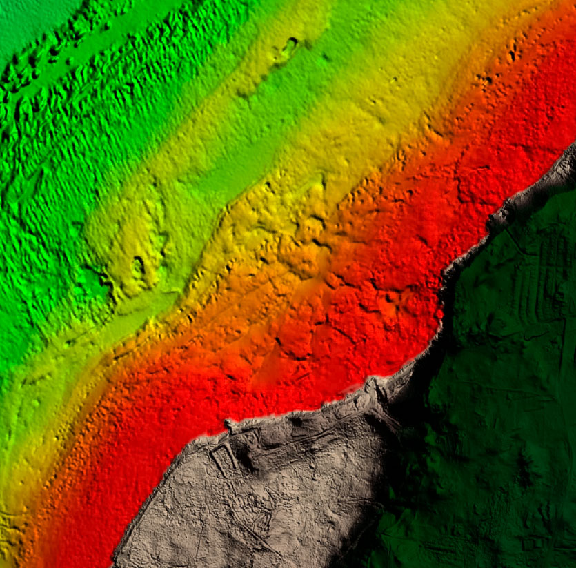
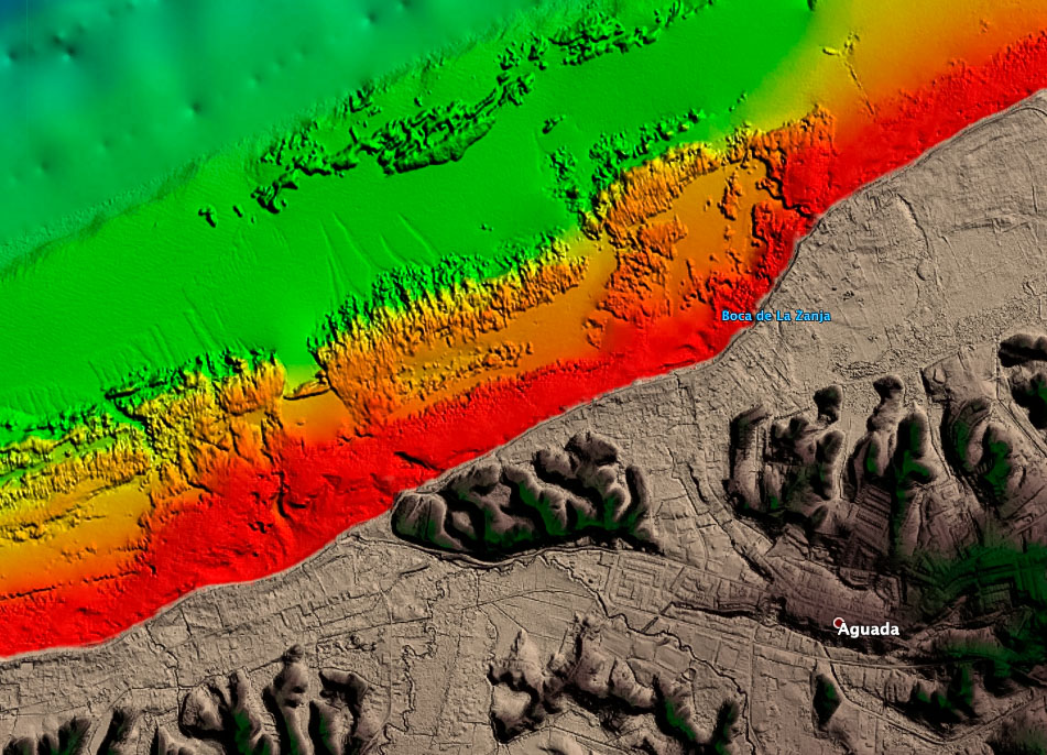
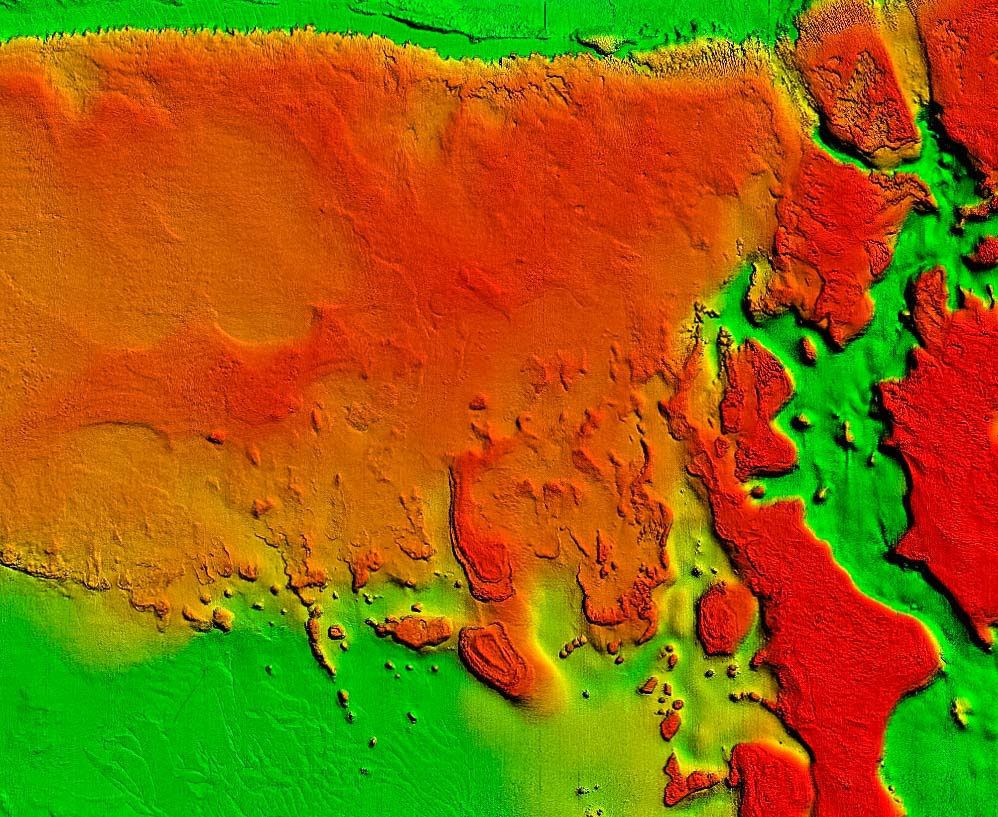
- Resolution: Resolution varies dramatically from very high in many shallow areas like Bajas Gallardo, Las Coronas, and Arrecife Tourmaline, to low in the deep areas of the Mona Passage. We always use the highest resolution data available, but in some areas the highest resolution data isn’t great. See screenshots below for more information. If there is a certain area you are interested in, email us coordinates and we can send you a screenshot.
- Notes: Beautiful definition of reef structure, coral heads, and canyons in many areas for great fishing and diving!

