3D Okaloosa County – Fort Walton Beach
$0 – $49
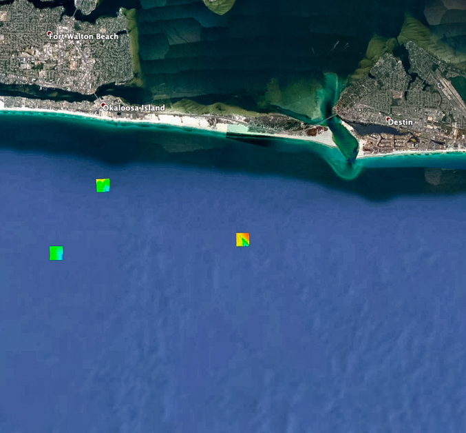
Okaloosa County – Fort Walton Beach fishing map 3D (FREE to download) with high resolution images of the seafloor.
**Preview map is LOW RESOLUTION. See gallery below for HD sample images**
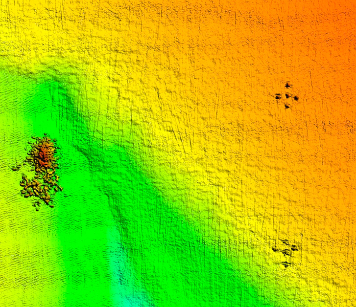
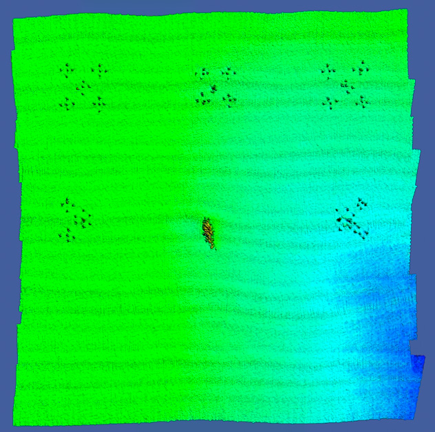
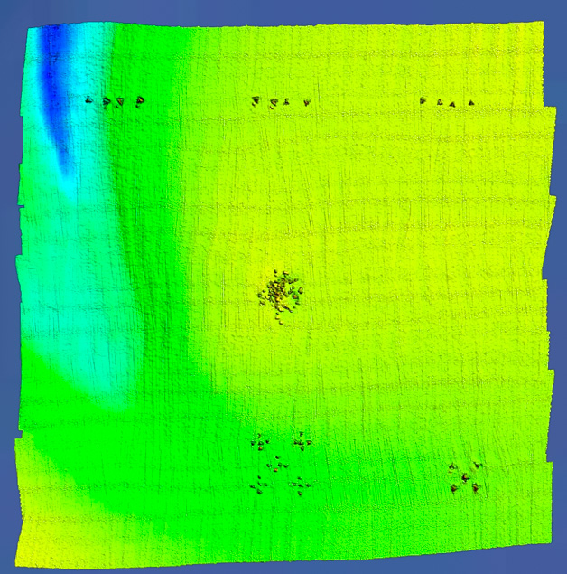
- Description: Made in cooperation with the Okaloosa County artificial reef office, this free chart shows extremely high resolution imagery of seven recent reef deployments. Each individual pyramid or reef module is clearly visible in the data.
- Location: Okaloosa County – Fort Walton Beach fishing chart coverage includes 7 individual artificial reef deployments, from just east of Navarre Beach to the western side of Destin. Deployments are 1.9 miles to 3.8 miles offshore.
- Depth: 60-70 ft
- Works on: Lowrance, Simrad, Raymarine, B&G, VesselView, iPhone, iPad, and Android tablet. Got a Garmin? Click here. (See: StrikeLines GPS Unit Compatibility Chart)
- Resolution: 6 inches
- Notes: The Okaloosa County – Fort Walton Beach fishing map is a 100% free download for Android, iPhone and Google Earth versions. Raymarine and Simrad versions cost $49, which covers the cost to ship you a physical memory card and pay licensing fees to those manufacturers.


