3D Florida East – Miami Combo
$349
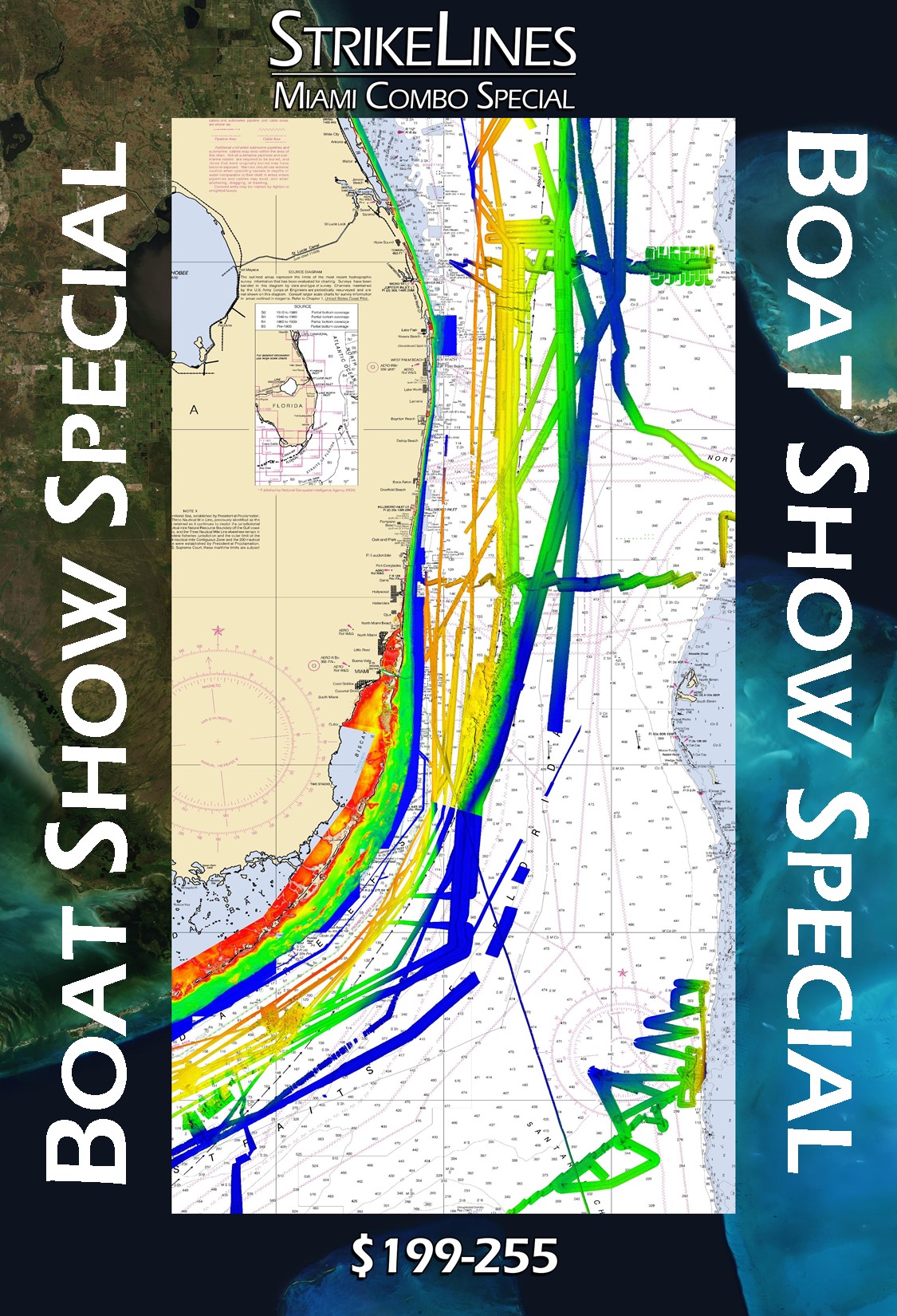
3D Florida East – Miami Combo Fishing Map
**Preview map is LOW RESOLUTION. See gallery below for HD sample images**
The Florida East – Miami Combo fishing map includes data from four of our fishing charts (we cropped the 3D Florida East Beaches, 3D Florida East Deep, 3D Florida Keys, and 3D Florida Keys Deep charts to the Miami area). Extends from Port St. Lucie past Islamorada (includes Islamorada Hump and Marathon Humps). This chart was made for the Miami International Boat Show 2020.
- Works on: Lowrance, Simrad, Raymarine, B&G, VesselView, iPhone, iPad, and Android tablet. Got a Garmin? Click here. (See: StrikeLines GPS Unit Compatibility Chart)
- Resolution: Varies depending on the quality of data available.
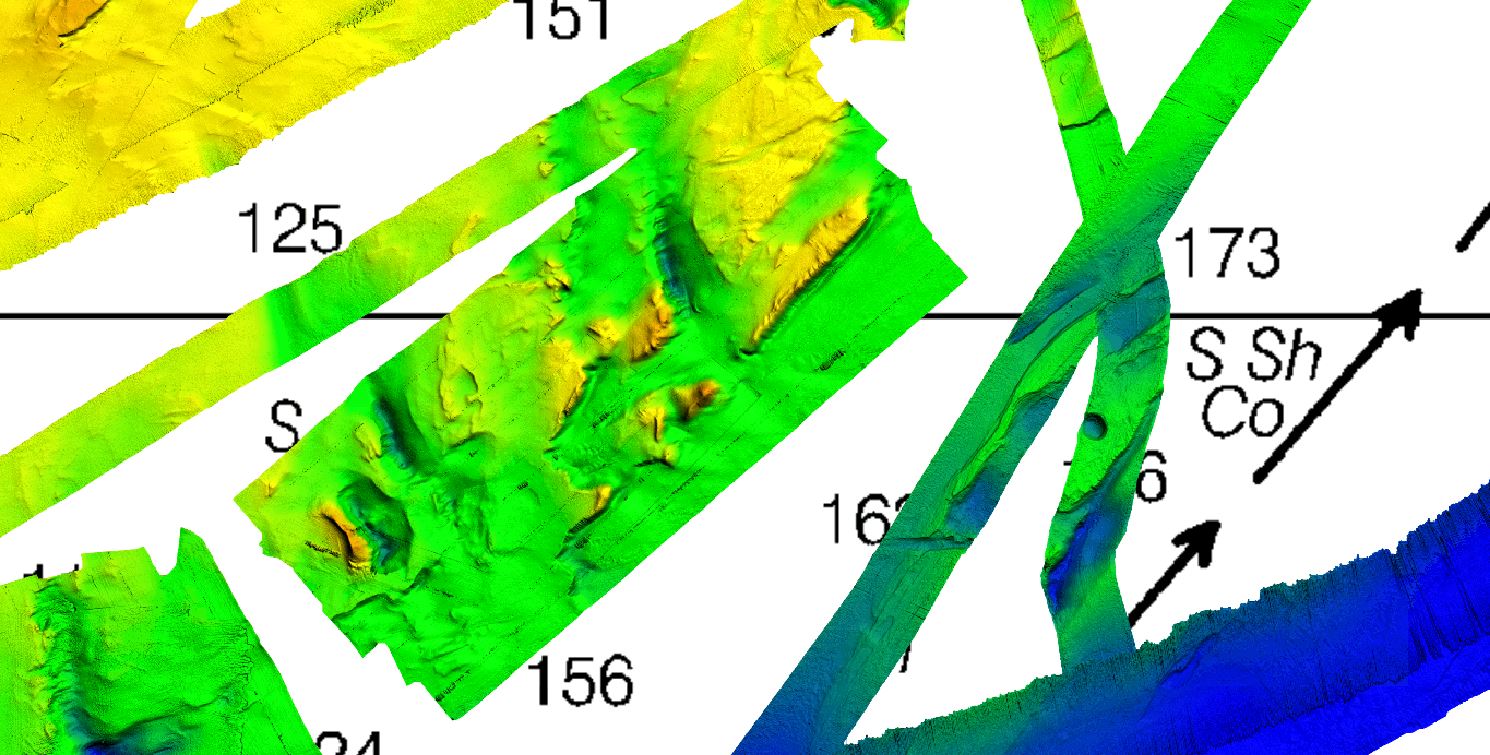
- Notes: With StrikeLines’ HD view of the ocean floor you’ll see exactly where those potential fishing spots are on the map. See where all the rocks, reefs, ledges, wrecks and other structures are in realtime on your GPS unit, mobile device, or computer.


