3D British Virgin Islands BVI – Anegada
$99
British Virgin Islands – BVI Anegada Fishing Map 3D
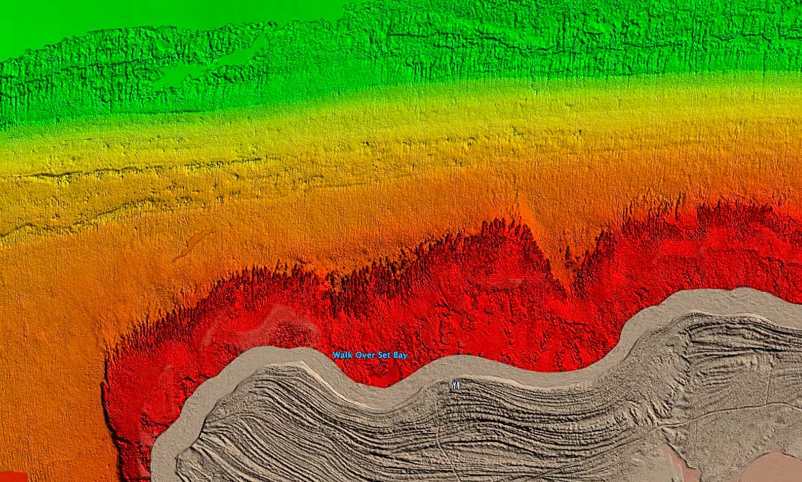
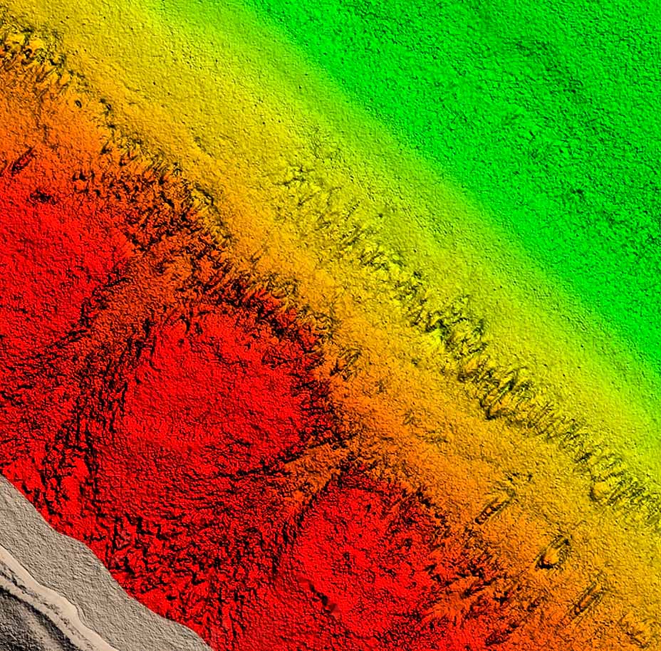
**Preview map is LOW RESOLUTION. See gallery below for HD sample images**
- Description: High definition fishing chart with 3D images of the seafloor.
- Location: British Virgin Islands – Anegada. High resolution data is only available for Atlantic facing sides of the island and is still limited.
- Size: Roughly 52 square miles of high resolution data, not including the island.
- Depths: Shallow!
- Works on: Lowrance, Simrad, Raymarine, B&G, VesselView, iPhone, iPad,and Android tablets.
- Resolution: High resolution data is only available for Atlantic facing sides of the island and is still limited. Check out the screenshots below.
- Notes: The Anegada Atoll is known for many species of fish, plentiful lobster, and legendary bonefish fishing around the reefs. With this fishing chart you’ll have HD visual of the reefs around the outer side of the island as well as rocks, coral heads, and other structures. Buy this if you want to see coral heads and reefs for snorkeling, diving, or fishing!


