3D Gulf of Maine (Archived)

$199
Lifetime Warranty RISK FREE 60-DAY SATISFACTION GUARANTEE

Product Description

**Preview map is LOW RESOLUTION. See gallery below for HD sample images.**

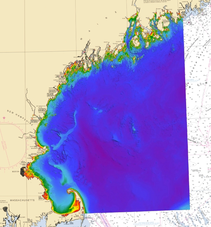
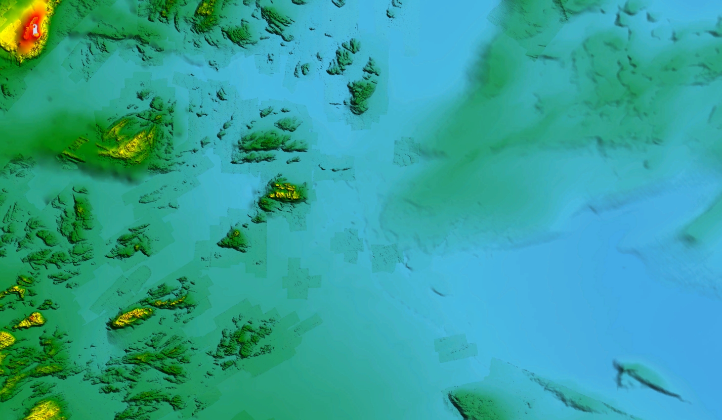
  • Description: Gulf of Maine fishing chart with high definition 3D images of the seafloor.
  • Coverage: Gulf of Maine fishing map includes Bar Harbor, Casco Bay, Portsmouth, Boston, Cape Cod Bay, Jeffreys Ledge, and more.
  • Works on: Lowrance, Simrad, B&G, mobile devices, and computers.
  • Notes: Huge hard bottom areas, rocky channels, swells, basins, ledges, and banks. Resolution varies depending on the area.


Customer Reviews

No reviews yet. Be the first to review this product!

Frequently Asked Questions

How accurate is the data?
How much detail does the data show?
Why are there sometimes gaps between areas?
What happens when you update a current chart?
Can I use a StrikeLines chart for navigation?
Does the card need to be in the unit to work?
Can I take the chart from boat to boat?
Where can I download basemaps for iOS devices?

Stay Connected

Join our mailing list and stay up to date on the latest news, discounts, and events

Your subscription could not be saved. Please try again.
Your subscription has been successful!