3D Southern California
$349
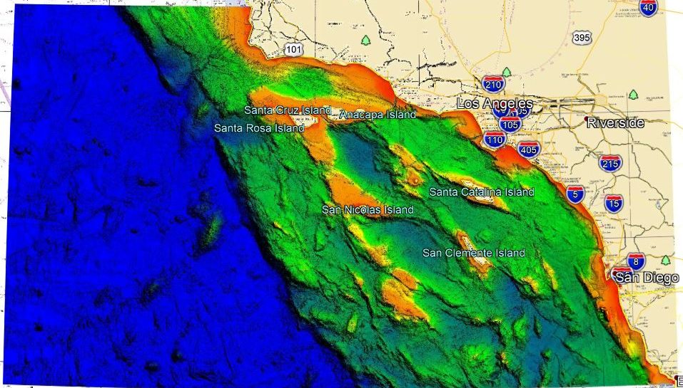
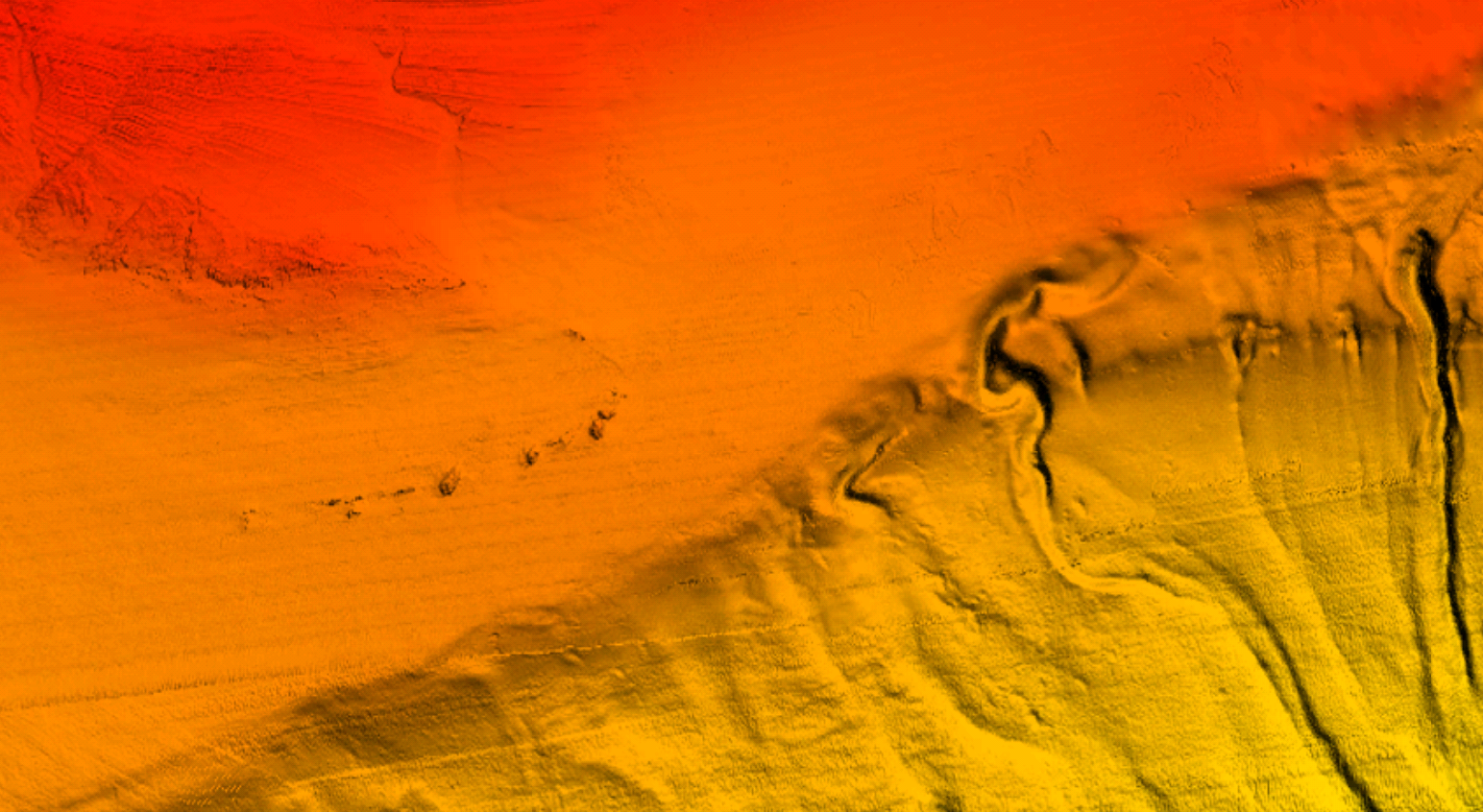
Southern California 3D fishing map with high definition images of the seafloor.
**Preview map is LOW RESOLUTION. See gallery below for HD sample images**
- Description: Southern California 3D HD fishing chart features high definition 3D images of the seafloor.
- Location: Southern California HD fishing chart coverage extends from Ensenada to Point Conception, including San Diego and Los Angeles. Chart has coverage around various islands including San Miguel Island, Santa Rosa Island, Santa Cruz Island, San Clemente Island, and more.
- Fishing Map Size: Approximately 45,000 square miles of potential fishing spots.
- Depths: 0 ft to 14,000 ft
- Works on: Lowrance, Simrad, Raymarine, B&G, and VesselView. Got a Garmin? Click here.
(See: StrikeLines GPS Unit Compatibility Chart) - Resolution: Varies depending on the quality of data available. Curious about the area you fish? Send us an email with coordinates to info@strikelines.com.
- Notes: With StrikeLines’ 3D HD view of the ocean floor you’ll be able to pinpoint all of the fishing spots you want to fish using the map. See exactly where the various drop offs are around the islands, find wrecks and reefs, and follow along the ledge lines in real time on your GPS unit or mobile device.


