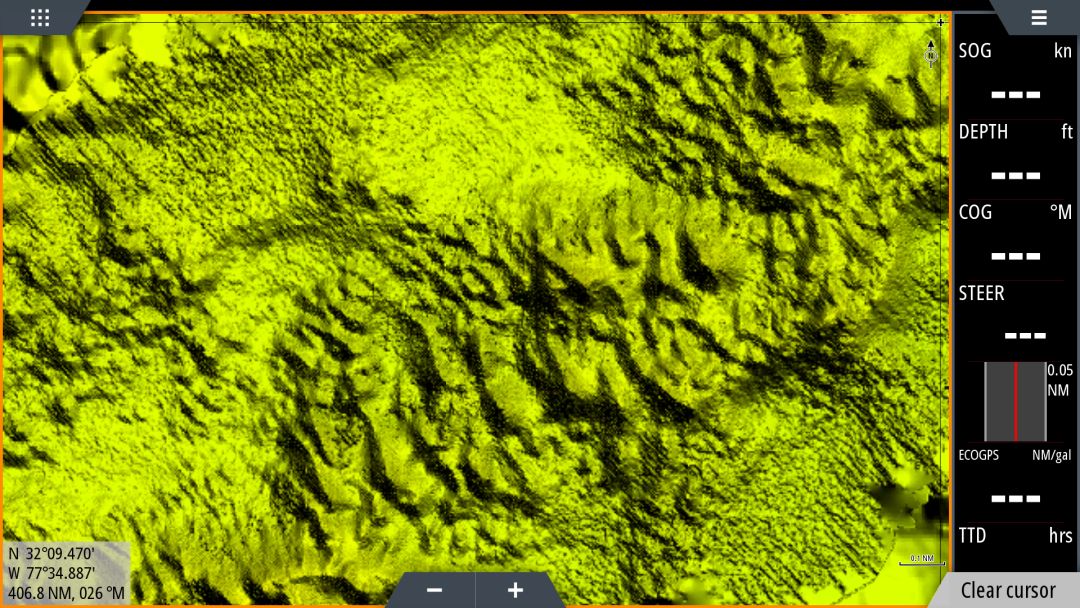
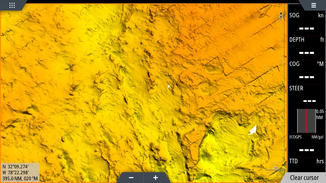
3D South Carolina & Georgia
$349
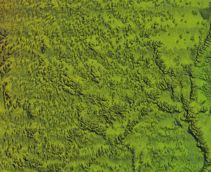
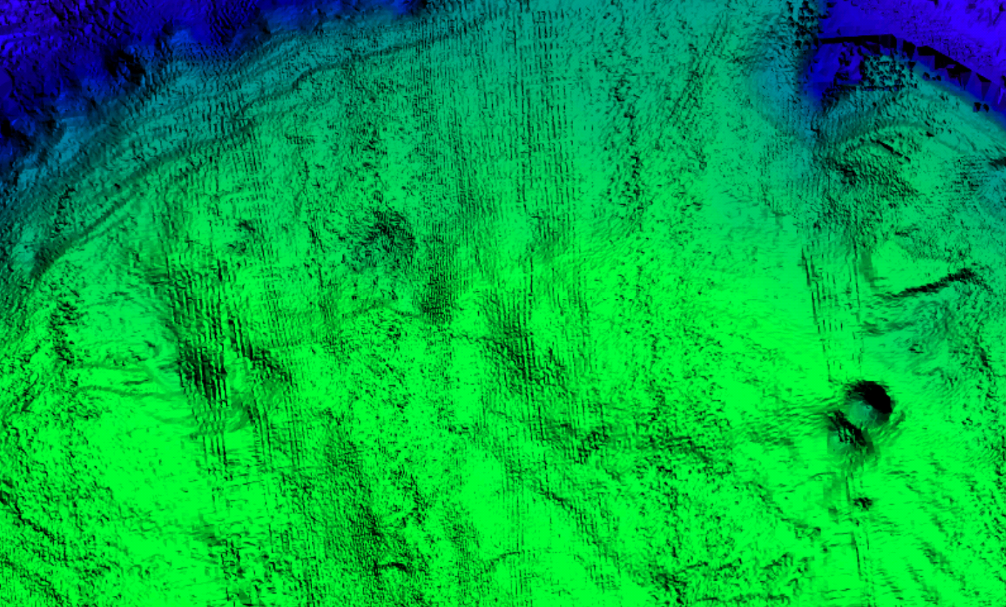
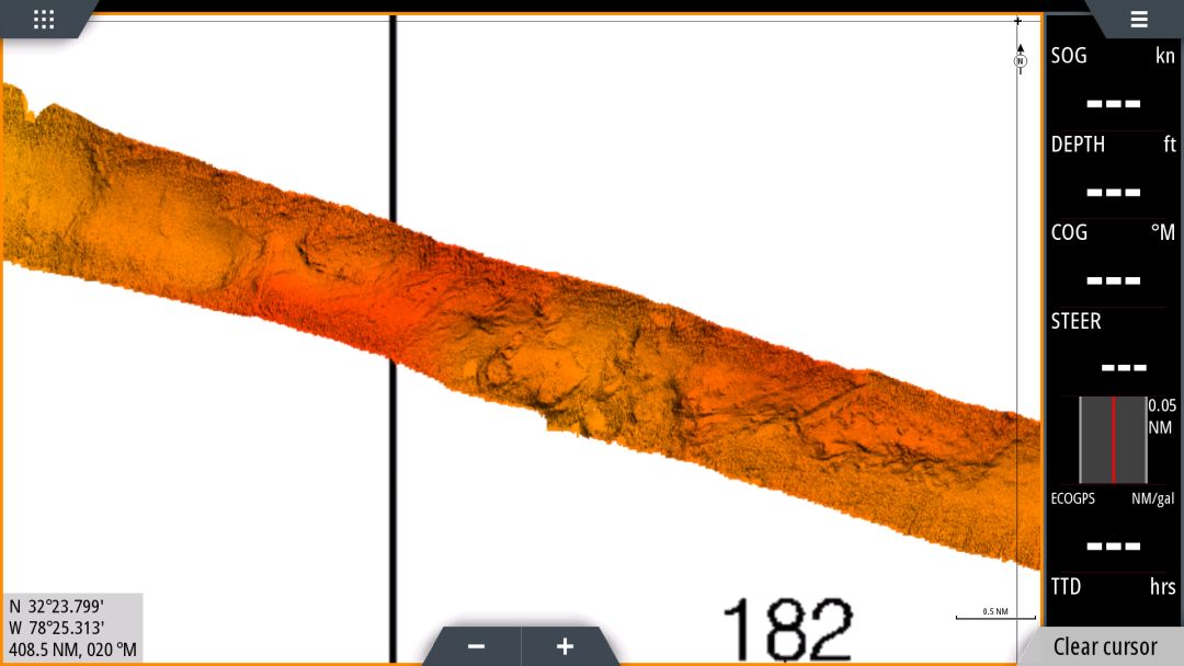
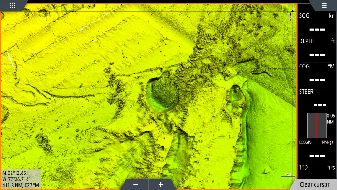
South Carolina & Georgia 3D fishing map with high definition images of the seafloor.
**Preview map is LOW RESOLUTION. See gallery below for HD sample images**
- Description: South Carolina and Georgia 3D HD fishing chart features high definition 3D images of the seafloor.
- Location: South Carolina and Georgia HD fishing chart coverage includes nearshore from the Frying Pan Shoals at Southport, NC to Brunswick, South Carolina, including Charleston and Savannah. The chart has offshore coverage from the Cape Fear Terrace to the Blake Spur 200 miles offshore from Jacksonville, FL, including Richardson Hills, Blake Plateau, and Stetson Mesa.
- Fishing Map Size: Approximately 40,000 square miles of potential fishing spots.
- Depths: 0 ft to 17,000 ft
- Works on: Lowrance, Simrad, Raymarine, B&G, and VesselView. Got a Garmin? Click here.
(See: StrikeLines GPS Unit Compatibility Chart) - Resolution: Varies depending on the quality of data available. We included any data that was better than nothing. Inshore data, with a few exceptions, is low resolution. Nearshore resolution varies from incredibly high resolution to relatively low resolution. Usually higher resolution near wrecks, obstructions, artificial reefs, and other areas of interest. Curious about the area you fish? Send us an email with coordinates to info@strikelines.com.
- Notes: With StrikeLines’ 3D HD view of the ocean floor you’ll be able to pinpoint all of the fishing spots you want to fish using the map. See exactly where the various drop offs of the Atlantic Canyons are, find wrecks and reefs, and follow along the ledge lines in real time on your GPS unit or mobile device.


