3D Clearwater Sample
$0 – $49
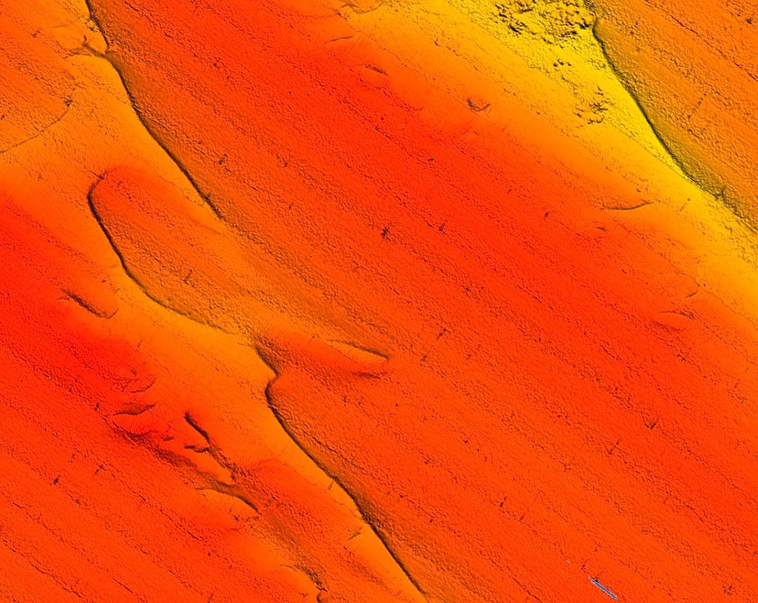
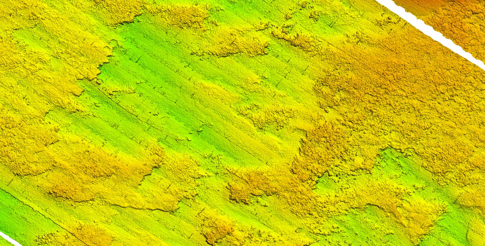
Sample Clearwater fishing map (FREE to download) with high definition 3D images of the seafloor.
**Preview map is LOW RESOLUTION. See gallery below for HD sample images**
- Description: High definition 3D images of the seafloor.
- Location: Clearwater fishing map is located approximately 11 miles east of Clearwater, FL (Tampa Bay).
- Fishing Map Size: 19 square miles of potential fishing spots.
- Depths: 35 ft to 45 ft
- Works on: Lowrance, Simrad, Raymarine, B&G, VesselView, iPhone, iPad, and Android tablet.
(See: StrikeLines GPS Unit Compatibility Chart) - Resolution: Resolution is excellent throughout.
- Notes: StrikeLines’ FREE Clearwater Sample fishing chart provides high resolution map of the Gulf floor, showing rough hard bottom, rugged ledges, and more. Note that this data is from 2003 and 2004 and that ledges and features may have filled in. We normally avoid data this old, part of the reason this chart is free. Data from NOAA/USF.
- Simrad/Lowrance/Raymarine: Our licensing agreements require us to ship you a physical chart card and thus we have to cover our shipping costs, price of the microSD, time, and any royalties.


